DRISHYA PRO-Advanced VTOL Drone for High-Precision Aerial Surveys

blog-detail-img

Overview

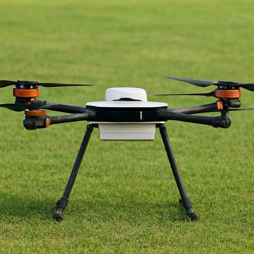
This is an advanced fixed-wing, vertical takeoff and landing (VTOL) drone designed by Tunga Aerospace for professional mapping, surveying, and environmental monitoring applications. It delivers data precision, superior flight endurance and robust terrain adaptability. It can be bought at approximately INR 1,950,000 in India.

Specifications

  • High-Precision Surveying
    This drone offers up to 2 cm horizontal and 3 cm vertical accuracy, thanks to its integrated GNSS system and professional-grade camera.
  • Payload Flexibility
     The drone features several interchangeable sensors, including superior RGB and multispectral cameras, such as the Sony Alpha series and MicaSense Altum.
  • Smart Flight Control & Mission Planning
     It features DrishyaPilot software, providing instantaneous monitoring, easy flight path automation, and continuous geospatial data management.
  • Wide-Area Coverage
     This drone can cover up to 600 hectares per flight at a 3.5 cm/pixel ground sample distance, making it perfect for significant topographic mapping and analysis.

Durable for Demanding Environments
 The aircraft boasts unmatched durability, featuring a strengthened airframe that is resistant to winds of up to 14 m/s and equipped for operations at elevations of up to 3000 m ASL.

Top Use Cases

  • Mining and Earthworks
     This drone can generate thorough terrain models and precisely calculate stockpile volumes.
  • Infrastructure and Urban Development
    This drone can capture orthophotos and 3D mapping data for bridges, roads and smart city projects.
  • Environmental Monitoring
     The drone enables accurate analysis of vegetation health and detection of land-use changes through multispectral imaging.
  • Precision Agriculture
     This drone can facilitate NDVI and other vegetation index mapping to evaluate crop health and enhance yields.
  • Disaster Management and Emergency Response
     It can be deployed rapidly to capture important geospatial data in disaster-stricken areas, supporting planning and recovery processes.
» Small Drone » Tunga Aerospace

Become A Certified Drone Pilot

Take Flight Today: Apply to Soar Above the Rest!

half-star-solid phone