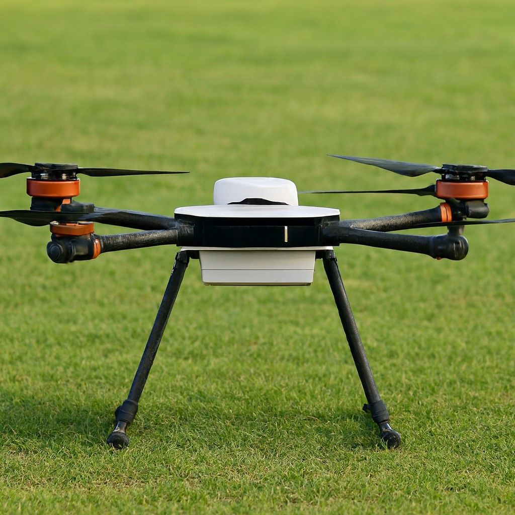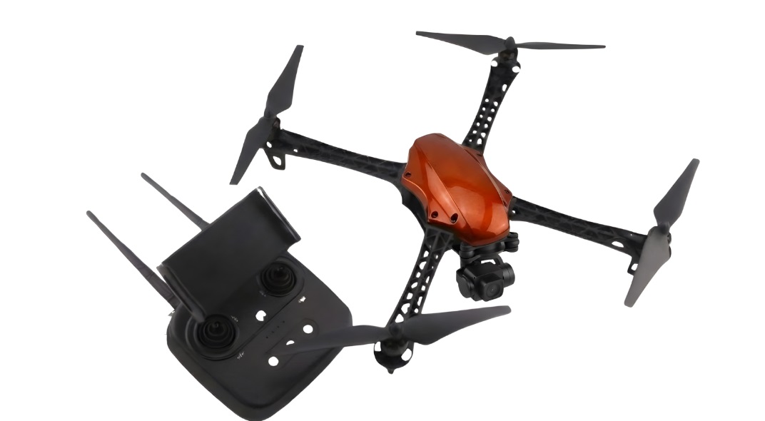
Highlights:
Weight:1.4 Kg
Battery:30 minutes
Max Video Resolution:4K/30fps
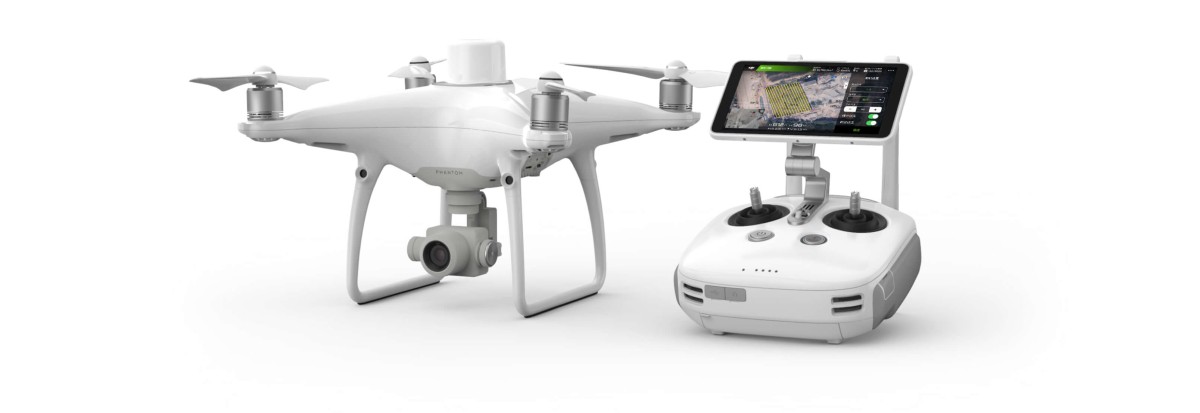
This drone is used for survey-grade precision and simplicity. With DJI’s flight technology and built-in RTK module. It offers accurate mapping results, making it a prevalent choice for GIS experts and surveying teams. It is available for around INR 6,90,000 in India.
• 1-Inch 20MP CMOS Sensor: It is known for delivering
striking stills with mechanical shutter, perfect for photogrammetry and
detailed 3D mapping.
• Integrated RTK Module: This drone offers instantaneous positioning
with precision, eliminating the need for ground control points.
• TimeSync System: This drone has
a flight controller, camera, and RTK data for precise geotagging.
• 30-Minute Flight Time: This drone can stay airborne for approximately
half an hour, making it ideal for professional mapping.
• GS RTK App & Compatibility: This is compatible with mission
planning software and comprises GS RTK for precise control over flight paths.
• Land Surveying: This drone camera can be put to use by surveyors
to collect precise geospatial data quickly and competently.
• Construction Site Mapping: There is a potential to create detailed
topographical maps and track site progress over time.
• Urban Planning: This drone is ideal for urban planners and civil
engineers to model cityscapes and infrastructure with precise terrain data.
• Agricultural Monitoring: It is handy for precision agriculture
applications, helping optimize land use.
Not sure which drone fits your needs? Our experts can guide you to the perfect UAV for your mission.
Browse similar UAVs and add-ons trusted by students and professionals alike.