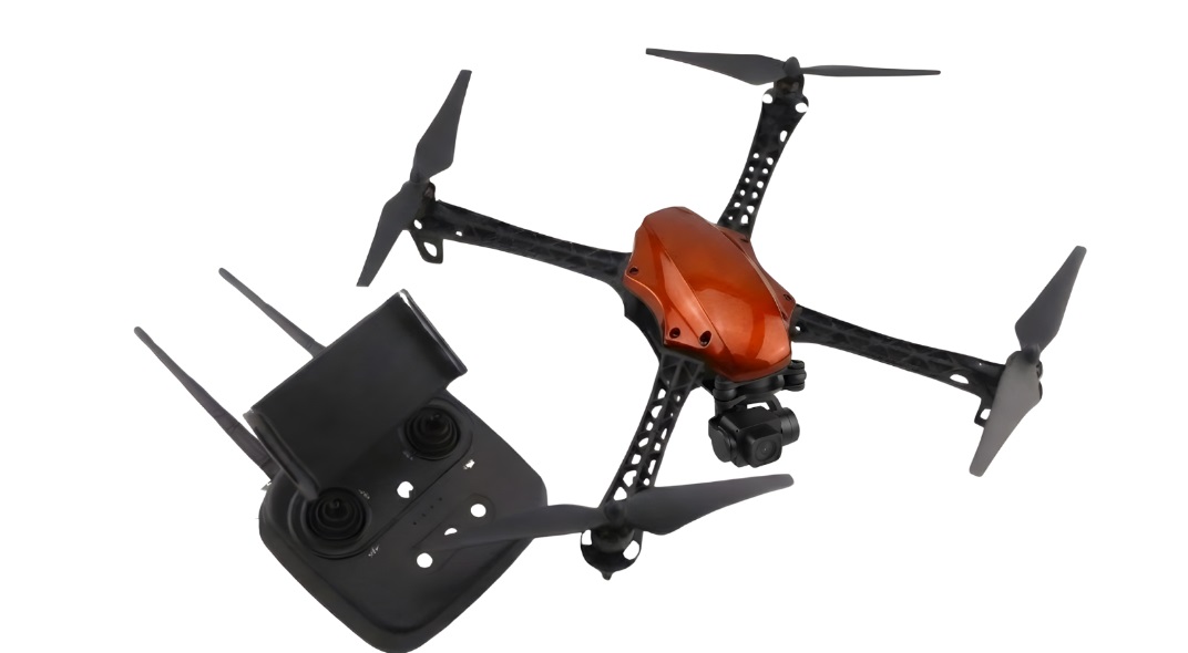

Highlights:
Flight Time: 45 minutes
Max Speed:37 mph
Max Wind Resistance:13 m/s
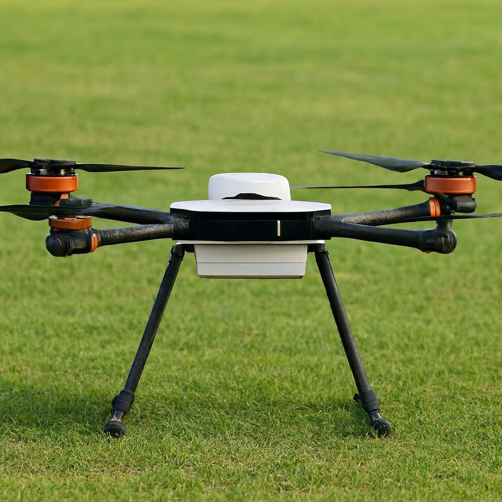
Hubblefly Technologies Private Limited designs this drone for surveying, mapping and monitoring tasks. It is engineered for precision, toughness, and versatility, integrating advanced imaging systems. This drone is priced at about INR 8,25000.
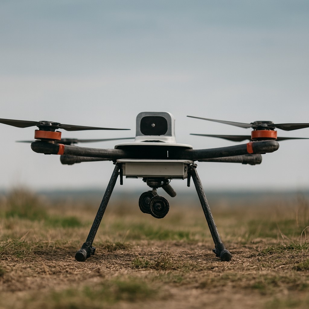
High-Accuracy Data Capture
This drone can attain 1.5 cm horizontal and 2.5 cm vertical precision, powered by high-accuracy GNSS modules and proficient imaging systems.
Versatile Payload Options
This drone is compatible with various superior RGB, multispectral and thermal cameras, for example Sony A7R IV, MicaSense RedEdge-P, and FLIR thermal sensors.
Intelligent Mission Control
This drone can integrate with Staredge Pilot software for intuitive mission planning, instantaneous flight tracking, and automated data workflows.
Wide Area Coverage
This survey can cover up to 700 hectares per flight at a 3 cm/pixel ground sample distance.
Engineered for Tough Environments
This drone is made with weather-resistant materials, intended to resist wind speeds up to 13 m/s, and function up to 2800 meters above sea level.
Mining and Resource Management
This drone can perform volumetric analysis and mine planning with superior terrain data.
Infrastructure and Construction
This drone is capable of generating 2D and 3D maps for planning and monitoring roads and buildings.
Agricultural Intelligence
This drone can capture multispectral and thermal images for precision farming, irrigation management and crop analytics.
Environmental and Forestry Monitoring
This drone can analyse land degradation, deforestation and habitat mapping using cutting-edge sensors.
Not sure which drone fits your needs? Our experts can guide you to the perfect UAV for your mission.
Browse similar UAVs and add-ons trusted by students and professionals alike.