Surveyaan V1: Precision and Performance in Aerial Surveying - image 1
  • Surveyaan V1: Precision and Performance in Aerial Surveying - image 1
  • Surveyaan V1: Precision and Performance in Aerial Surveying - image 2

Surveyaan V1: Precision and Performance in Aerial Surveying

Highlights:

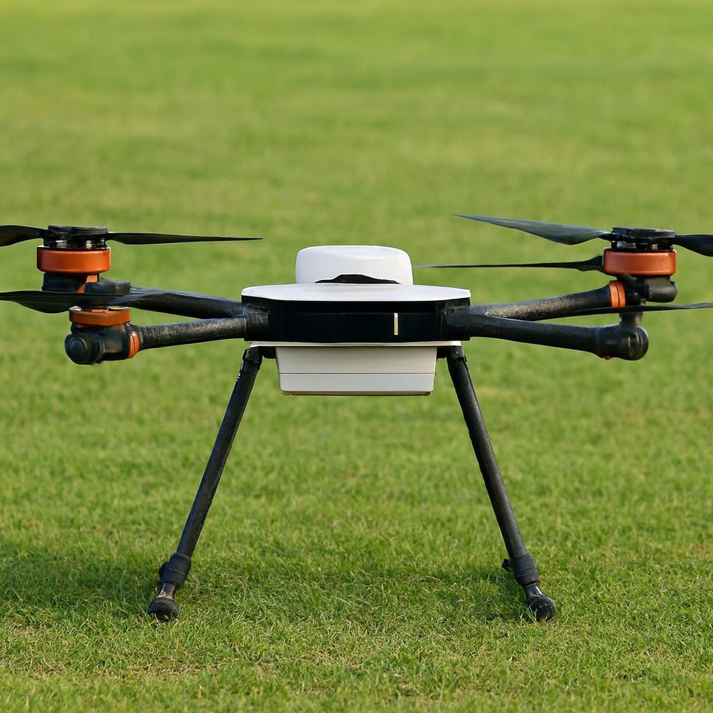
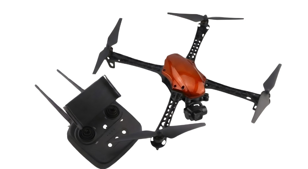
  • Camera Resolution:23 Megapixels

  • Range:1.5 Kilometers

  • Wind Resistance:Up to 25km/hr

  • Manufacturer Warranty
  • support Expert Support
  • Free Shipping

Overview

This is a premier aerial survey drone suitable for cartography and remote sensing. This combines trailblazing technology with accessible features. Thus, this drone is the ultimate tool for capturing high-resolution images. The cost of this drone in the Indian market is around INR 472,000.

Specifications

  • In-Air Time: This small-category drone can stay in the air for around 40-45 minutes.
  • Maximum Attainable Height: The height that can be achieved by this drone at max is 120 metres.
  • Range of the Drone: The total range of this survey drone is about 1.5 kilometres.

Top Use Cases

  • Topographic Mapping: This drone can be used to produce detailed terrain maps for construction, mining, and agricultural purposes.
  • Land Surveying: It can be useful in accurately measuring and mapping property boundaries.
  • Environmental Monitoring: When it comes to monitoring and assessing environmental changes over time, this drone can be a real handful.
  • Disaster Response:  During disasters, it can quickly survey and map affected areas to facilitate an efficient response.
Related Tags:

Need Help Choosing the Right Drone?

Not sure which drone fits your needs? Our experts can guide you to the perfect UAV for your mission.

Chat with Expert Schedule Call

Explore More Drone Products

Browse similar UAVs and add-ons trusted by students and professionals alike.

Share

half-star-solid phone