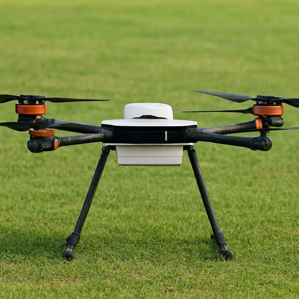

Overview
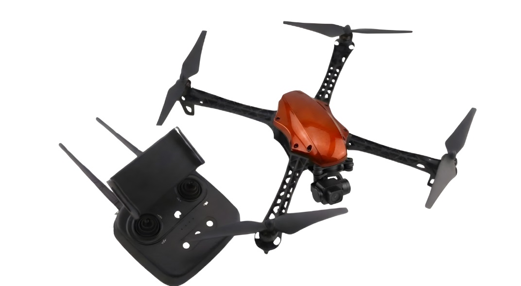
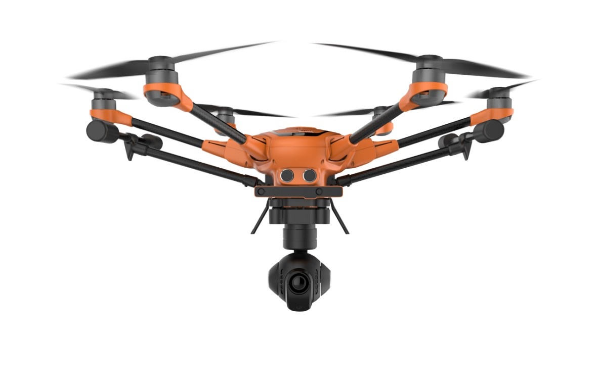
It is a professional drone for surveying, mapping, inspection and security applications. This drone offers survey-grade data collection capabilities, complemented by cutting-edge camera options and dependable flight performance. With its sturdy design and open SDK platform, it’s a favourite for GIS professionals. In India, it is available for around 3,00,000
Specifications
- High-Precision 1" Sensor: It is compatible with the E90 camera with a 1-inch 20MP sensor; the H520 delivers superior stills and 4K video, perfect for inspection and mapping.
- RTK-Ready with Optional Add-On: The H520 features a real-time kinematic (RTK) module for achieving utmost precision.
- Hot-Swappable Payloads: The device supports multiple camera types, including thermal (E10T), wide-angle, and zoom lenses, allowing users to switch payloads without powering down.
- 30-Minute Flight Time: This drone can stay airborne for up to 30 minutes with the E90 camera, providing operators with sufficient coverage for large-area mapping.
- DataPilot™ Mission Planning Software: This drone comes with an easy-to-use mission planning software for grid surveys, automated flight paths and 3D modelling missions.
Use Cases
- Land Surveying: This drone provides accurate data collection across various terrains, making it ideal for mapping and managing land parcels.
- Infrastructure Inspection: Its payload flexibility and stable hovering capabilities make it perfect for inspecting bridges, towers and other infrastructure.
- Emergency Response & Search Operations: Its thermal camera and robust design make it ideal for fire departments, disaster management, and rescue teams.
- Construction & Engineering: It is used to monitor construction progress and guarantee design accuracy.
- Precision Agriculture: With NDVI camera options, this drone can monitor crop health, optimize irrigation and improve yield outcomes.