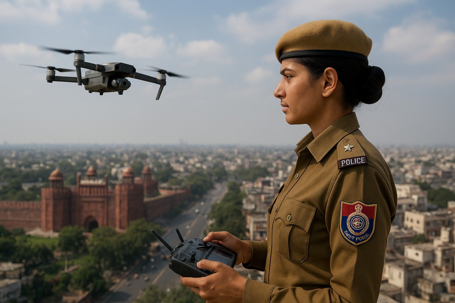
Groom Stabbed at Wedding, Cameraman's Drone Chases Attackers for 2 km
A wedding in Amravati turned into a crime scene on 10th November 2025 when the groom was stabbed. A drone positioned to film the funct
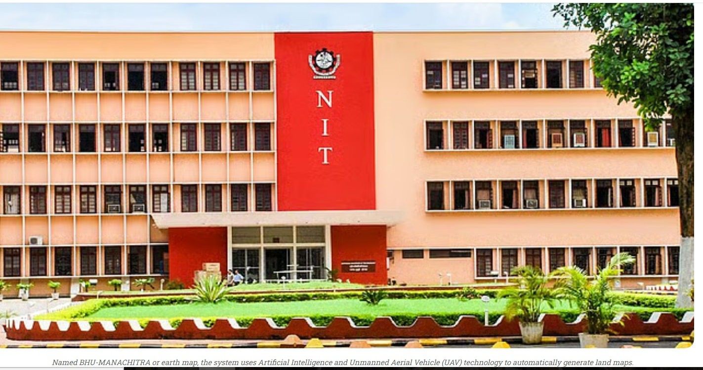

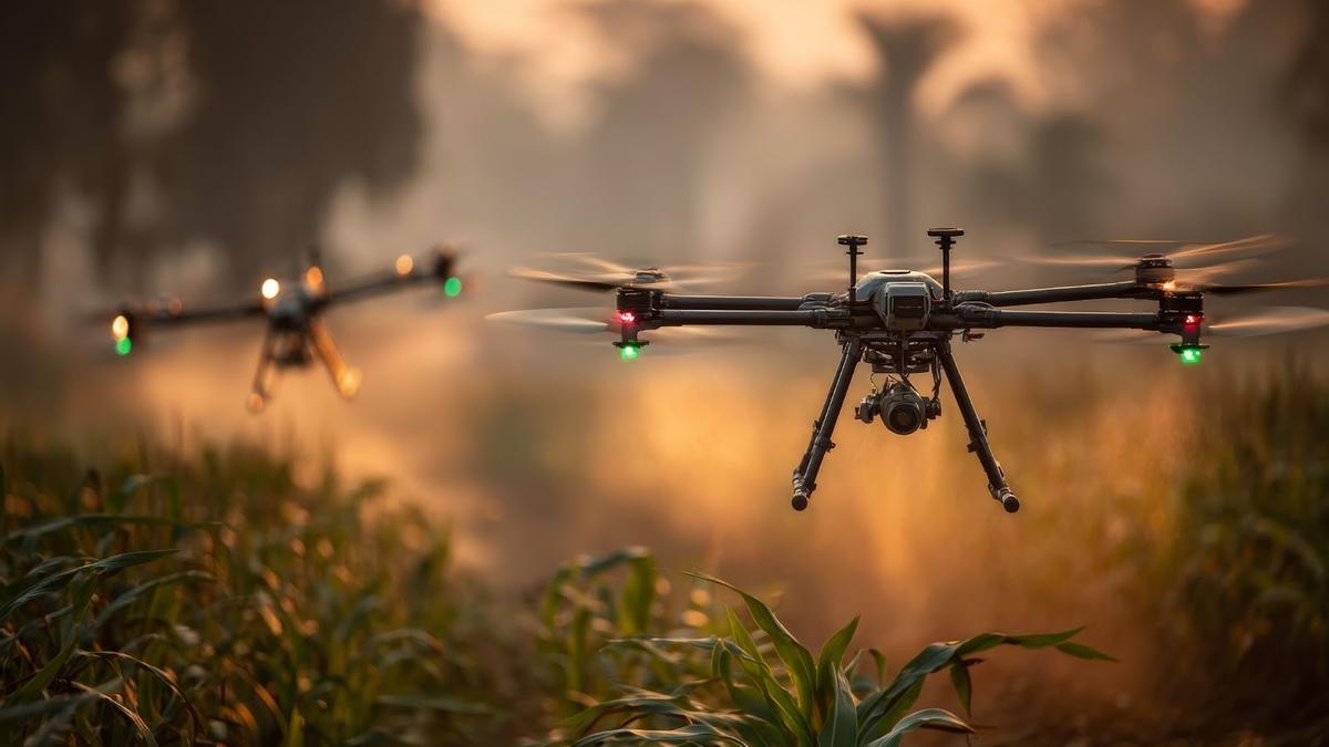
NIT Rourkela has developed Bhu Manachitra, an autonomous instantaneous land-mapping drone system. The innovation integrates AI and UAV technology to produce land maps without requiring internet connectivity, external computers or manual intervention.
The research team has advanced a deep learning model allowing the drone to recognize land features in real time. Different from conventional drones that take images for later processing, BHU-Manachitra completes all analysis on board, making it autonomous and appropriate for remote, disaster-hit regions and areas lacking communication networks.
Speaking about the development, Sambit Bakshi, Associate Professor, Computer Science & Engineering, said, “The invented methodology makes use of a lightweight AI model with 2.48 million parameters, which makes Bhu Manachitra suitable for on-board processing in drones. Drones, being intended lightweight for long flight time, cannot carry heavy dedicated hardware for instantaneous image processing, but can carry a tiny processor for executing this lightweight AI model that performs land mapping.”
The technology will support multiple sectors. Government agencies can deploy it for land record modernization, urban planning and smart-city development. Agriculture departments can use it to evaluate crop conditions, soil health and irrigation needs, aiding productivity and sustainability. Throughout natural disasters, the system can offer instant terrain intelligence, enabling faster and more effective response planning. Environmental and forest departments can also use it to track deforestation, encroachments and changes in biodiversity.
NIT Rourkela and IIT Patna Vishlesan I-Hub Foundation have jointly secured an Indian patent for the technology. TIH IIT Patna sponsored the research under the National Mission on Interdisciplinary Cyber Physical Systems of the Department of Science and Technology, Government of India.
Source: Economic Times
Not sure which drone fits your needs? Our experts can guide you to the perfect UAV for your mission.