How Drone Technology Is Helping in Smart City Development?
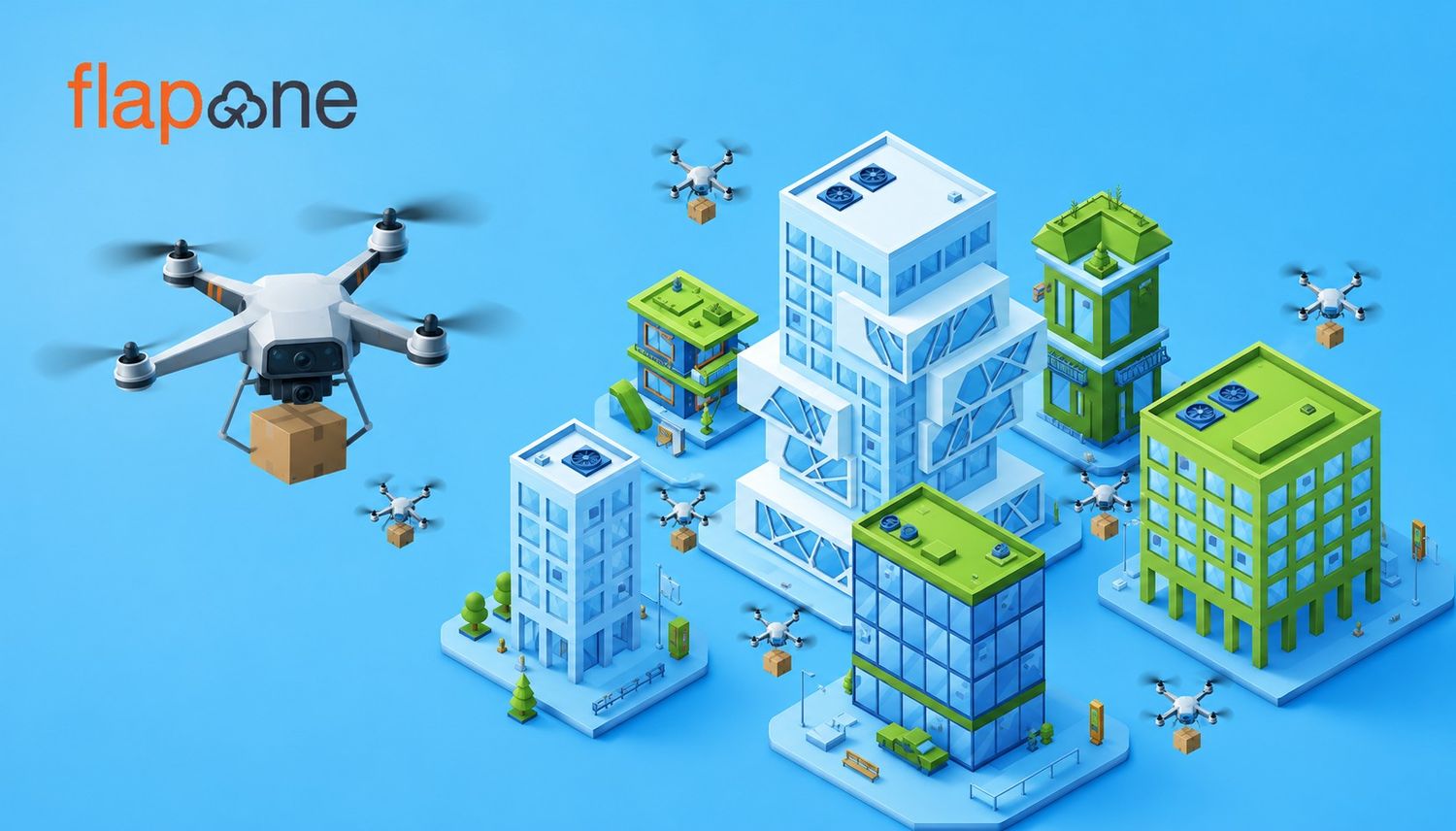
Smart cities promise an exciting future. The urban sprawls of tomorrow will feature a vast array of tech to make life easier, safer, and cleaner. The

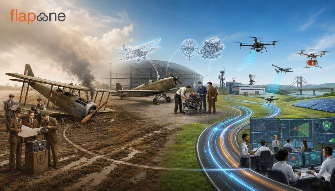
Drones have evolved from being once a niche recreational device into an important operational tool across various sectors. There has been a rapid technological advancement in sensors, autonomy, communications, and data-processing software, combined with supportive policy measures, which have enabled the growth of a thriving ecosystem of commercial drone services. This blog will provide you with information about various drone services and other related topics.
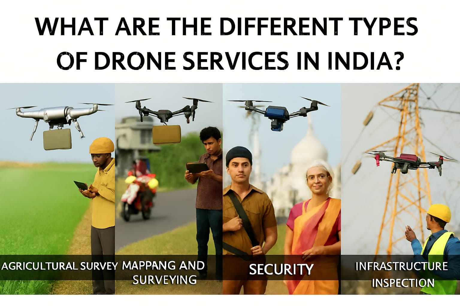
Aerial surveying and mapping are one of the significant applications of drones in the current scenario. With the help of advanced cameras, sensors, and drones, information can be collected for mapping and urban planning. The increased speed of data collection, accessibility, and reduced manpower requirements make drone surveys faster and more economical than their conventional counterparts.
The use of agricultural drones in India has grown significantly. Monitoring crop health, spraying pesticides/fertilizers, sowing, and field mapping are the primary uses of drones in agriculture. Multispectral and NDVI-based indices captured by drones allow for early detection of pest infestations and nutrient deficiencies. Targeted spraying reduces the use of chemicals, and drones can also effectively address labour shortages.
Drones are used in inspections of industrial and infrastructural assets. Compared to manual inspections, drones reduce people's exposure to hazardous conditions, decrease downtime and allow for more frequent monitoring of conditions. This reduces time and increases the speed at which industrial inspections are done.
The use of drones in construction provides site progress imagery, 3D site models and change-detection analytics. Aerial photography helps to create a visual timeline of projects, supporting project management and stakeholder reporting. Drones can help to accelerate quantity measurements and improve coordination between teams working remotely.
Drones can also be useful for conducting topographic surveys, pit mapping and volumetric calculations in the mining industry. Rapid re-surveying after blasting or excavation helps settle inventory and manage transport logistics. It is possible to perform quicker stockpile measurements, have safer access to unstable terrain, improve regulatory compliance and reduce survey costs.
Drones offer rapid situational awareness to first responders during catastrophic events. Thermal imaging is utilized in search-and-rescue operations, real-time mapping of affected areas, and the delivery of emergency supplies, among other relevant applications. They facilitate faster decision-making for rescue operations, decrease the risk to responders and enable access to areas inaccessible by ground during disasters.
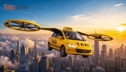
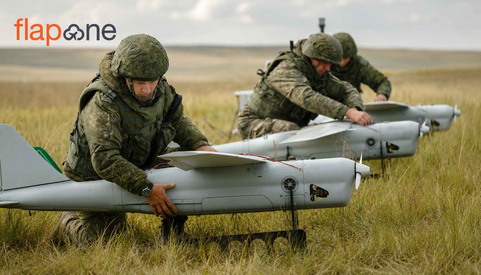
Drones are particularly useful for providing mobile surveillance at industrial sites, public events, transportation hubs and border areas. They supplement ground security with extended vantage points, facial-blur capabilities for privacy-respecting analytics and automated monitoring. These UAVs provide situational awareness, facilitate rapid patrolling, and enable the verification of incidents, allowing for the following actions if further assistance is needed. The drones are also used for military defence. Some of the major defence drones are Harop drones.
Last-mile drone delivery has also begun to make rapid use of drones, with pilot projects demonstrating short-range parcel delivery, medical supply drops and time-sensitive logistics for remote locations. Drones can be useful for fast delivery to inaccessible locations and can help reduce dependence on road transport in specific corridors.
Aerial photography and videography are among the most common drone services, not just in India but worldwide. Drones enable people to capture footage from cinematic angles for films, advertising, videos, real estate marketing, and event coverage. They provide enormous creativity at lower costs compared to helicopters or cranes.
Drones are also used for capturing spectacular aerial footage, creating virtual tours, and mapping neighbourhoods for property listings, thereby enhancing buyer engagement and marketing effectiveness. Drones allow access to different angles that are almost impossible to achieve with ground photography.
Drones are also used for habitat mapping, wildlife monitoring, pollution control, coastal erosion studies, and forestryinventories. Thermal and multispectral sensors help keep a count of the population, assess the health of wildlife, and detect any illegal activity.
The insurance sector also utilizes drones. They enable rapid damage assessment after natural disasters or accidents, producing images that accelerate the process of claim settlement and fraud detection.
In the current landscape, certified drone pilots are in high demand in nearly every industry. A DGCA-authorized RPTO issues RPC. Training ensures operator proficiency in flight planning, airspace rules, radio telephony basics, emergency procedures, payload operation and data security protocols. Drone pilots underpin client trust, enable institutional contracts, decrease insurance premiums and help organizations satisfy audit and safety requirements.
Obtain Drone Certification: Pilots should enroll in a DGCA-authorized RPTO course and ensure that RPCs and records are maintained on Digital Sky. Certification is a baseline for reliable operations.
Invest in Data Capabilities: Proper data analytics often deliver more value than raw imagery for any project, so it is imperative to invest in drone analytics for a drone entrepreneur.
Adopt Robust SOPs and insurance: Compliance and risk management decrease operational disruptions and unlock government contracts.
Engage Stakeholders Proactively: Client education, clear privacy policies and transparent pricing quicken adoption, particularly in conservative or regulated sectors.
Drones have become a versatile tool across many industries in India. The value proposition rests on speed, safety, cost-efficiency and data-rich deliverables. A drone pilot should always be aware of regulatory obligations, secure certified training for pilots, invest in sensors and data workflows and accept strong governance for privacy and safety.
For professionals and businesses anticipating entry, disciplined investment in certified training, quality assurance and client-focused deliverables will determine whether they capture a market share in this rapidly maturing sector.
If you want any drone services or even want to know about how to pilot drones effectively, there is only one destination: Flapone Aviation. Here you will get the best-in-class drone services and training at an unbeatable price. So, what are you waiting for? Visit us for all your drone-related needs.
Our experts can help assess your needs and suggest the right drone services for your industry.