Land Survey - image 1
  • Land Survey - image 1
  • Land Survey - image 2
  • Land Survey - image 3
  • Land Survey - image 4
  • Land Survey - image 5
  • Land Survey - image 6
  • Land Survey - image 7
  • Land Survey - image 8
  • Land Survey - image 9
  • Land Survey - image 10

Land Survey

Highlights:

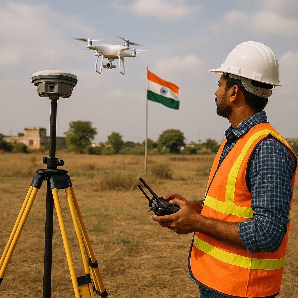
  • Expert Team:Operated by DGCA-certified Drone Pilots

  • Technology:Advanced Technology

  • Support:24X7

  • Price:Customized Pricing

  • Certified Operator
  • support Expert Support
  • Data Security

Overview

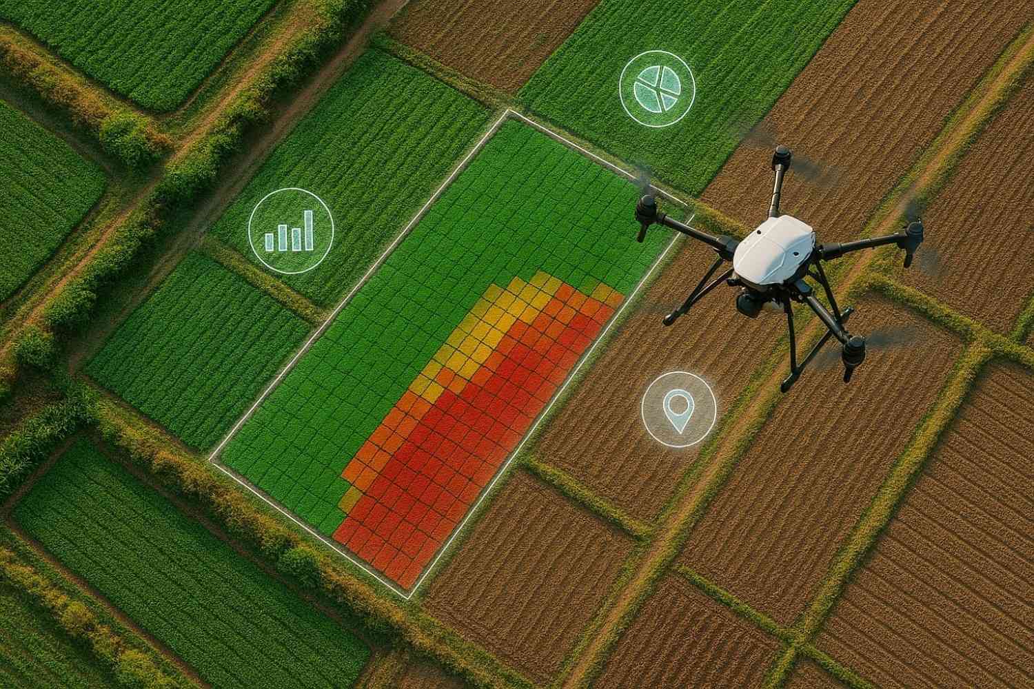
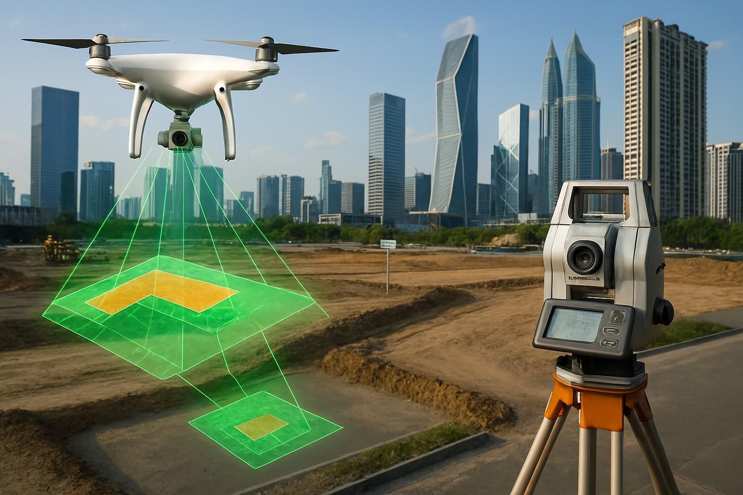
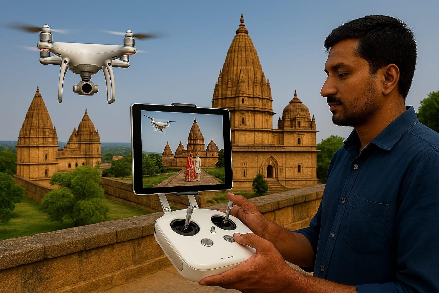
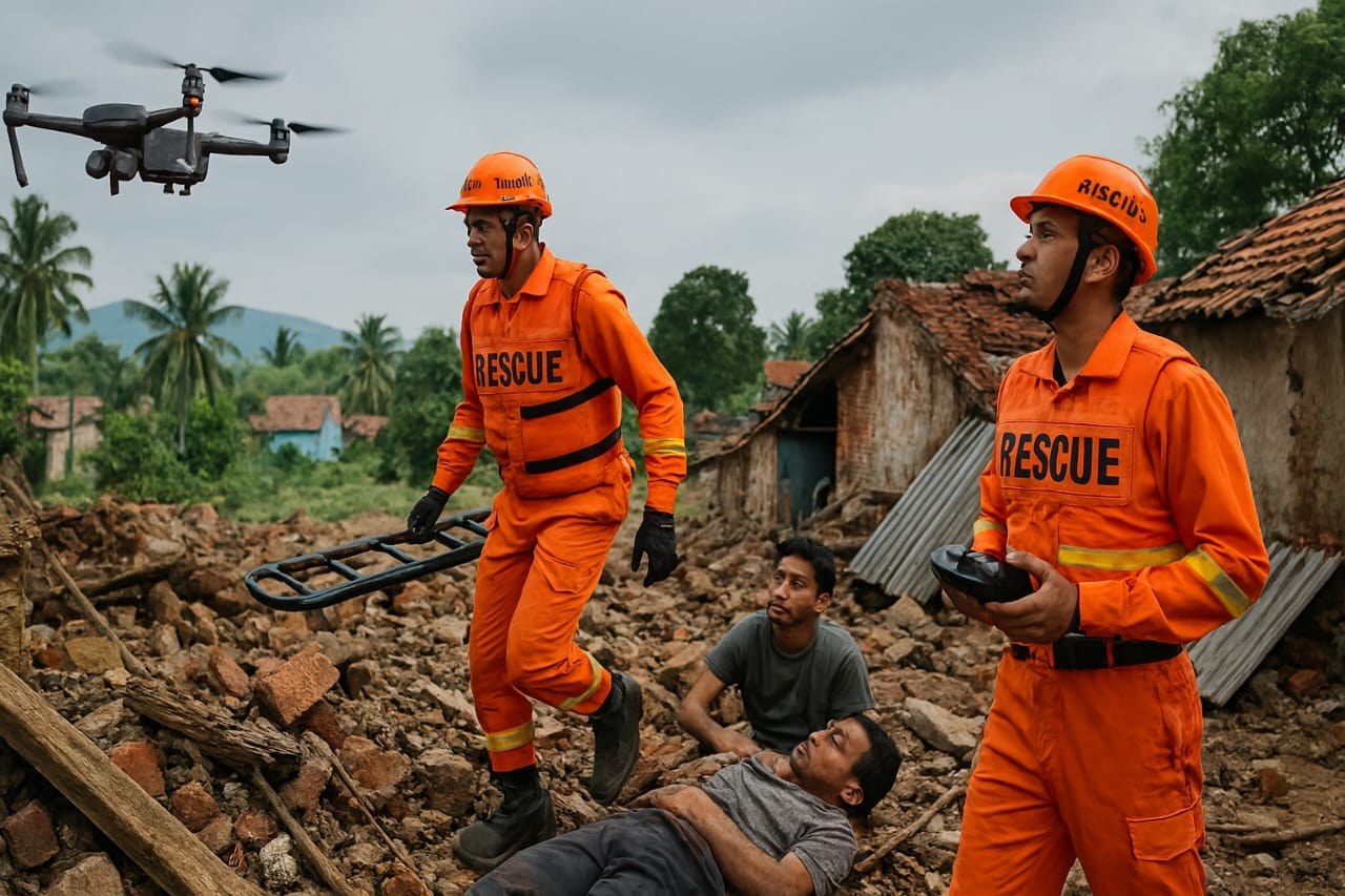
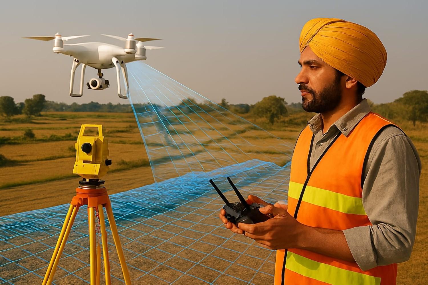
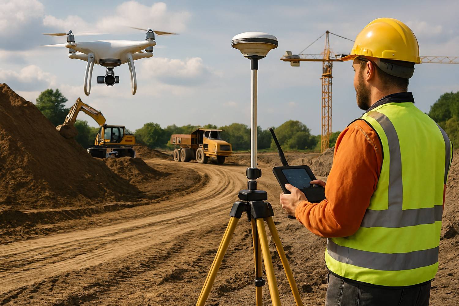
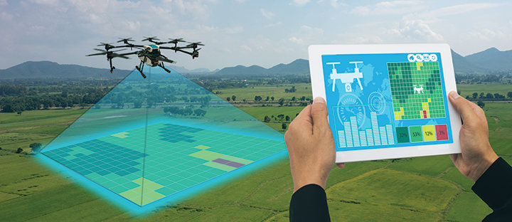
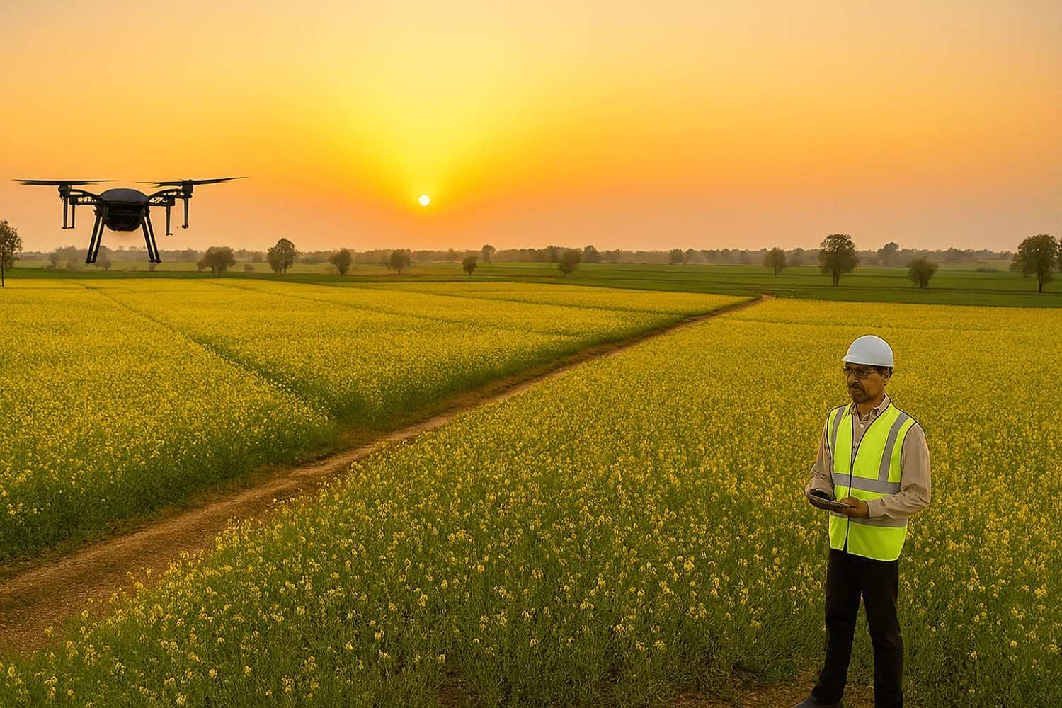
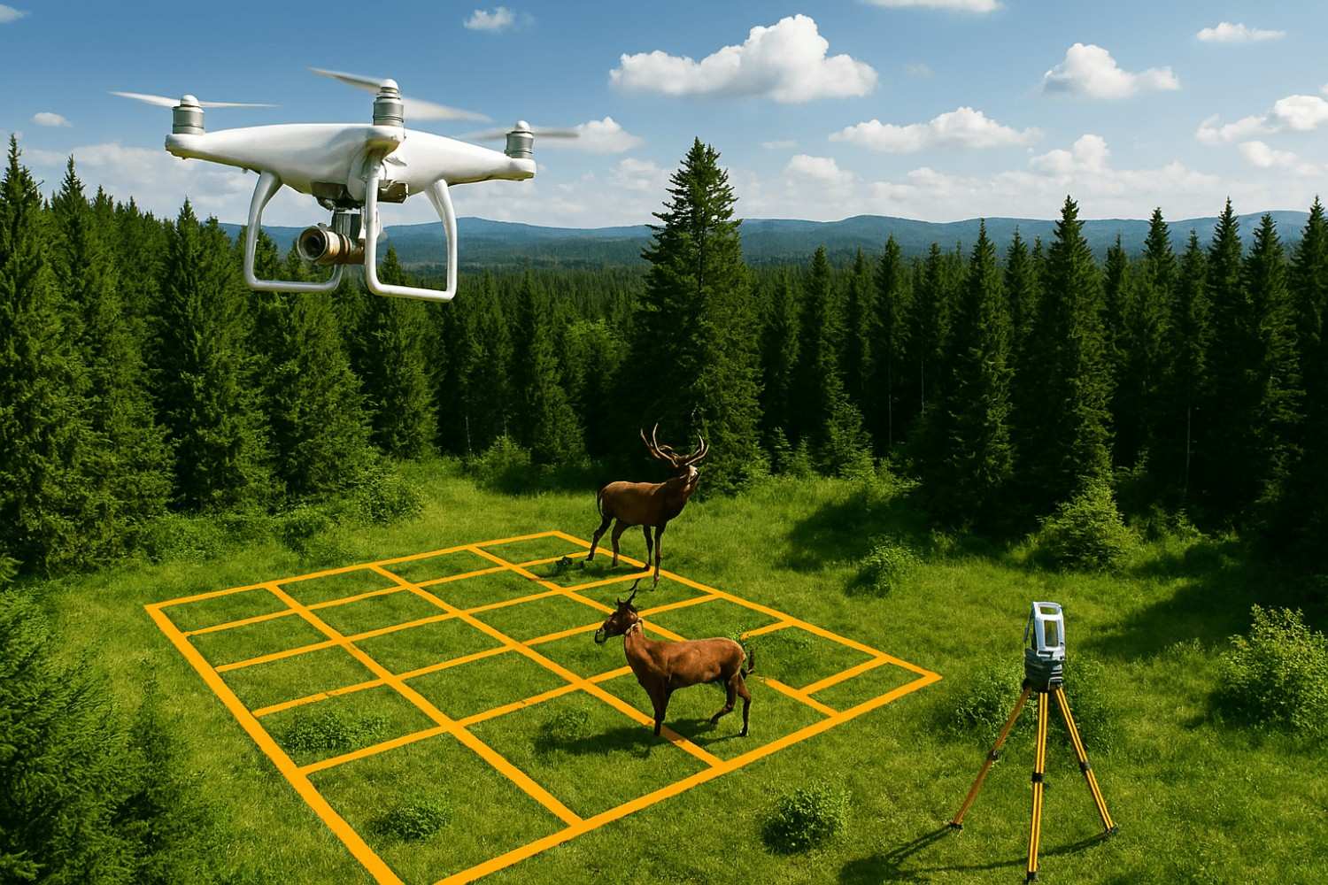
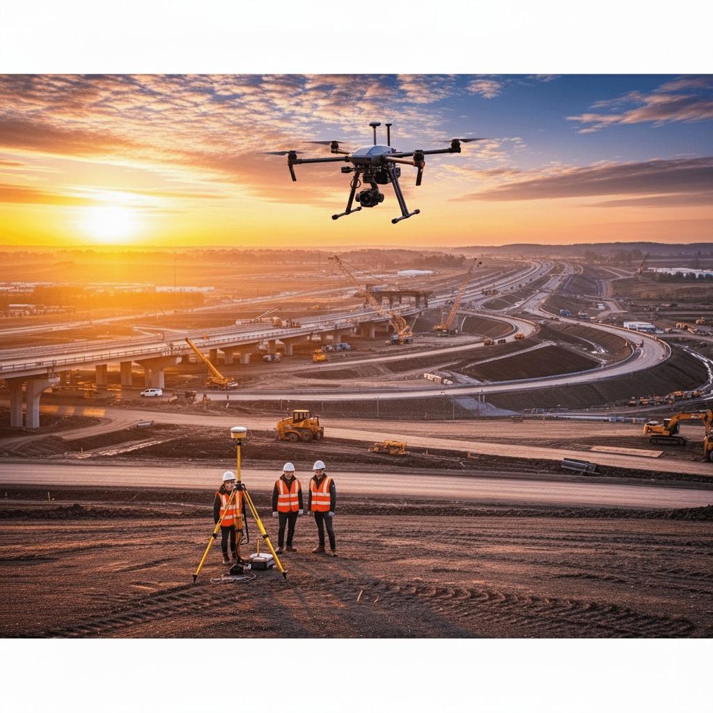
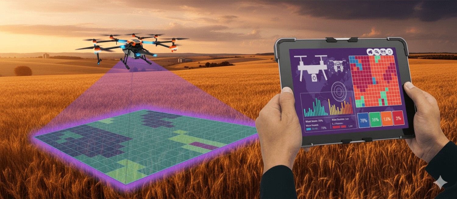
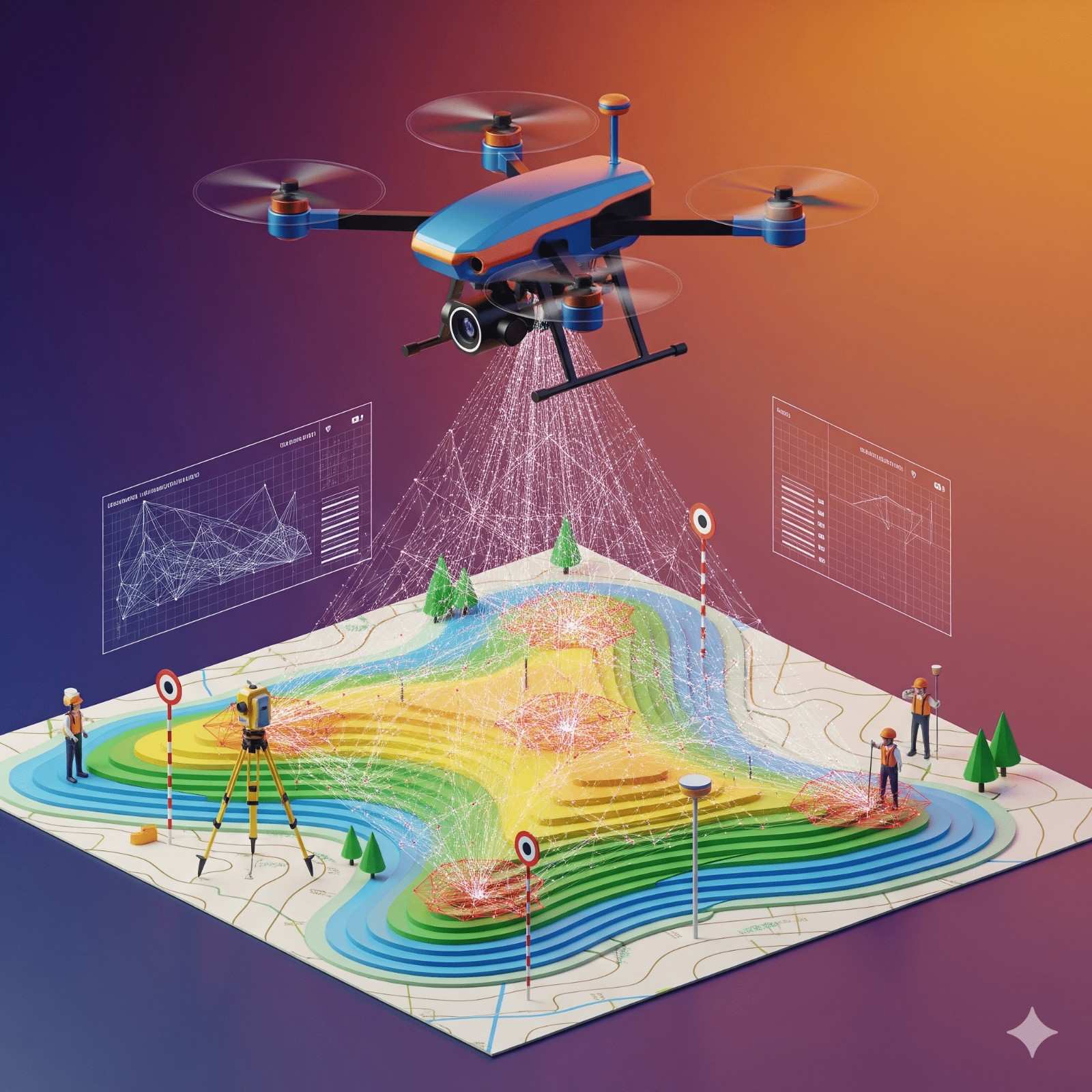
We at Flapone Aviation are the pioneers in providing drone land survey services. Our expert drone pilots offer data for many industries, such as agricultural construction and environmental monitoring. Drones can capture data and images that will help the decision-makers of the various industries to reach a conclusion and make a decision accordingly.

Land Survey Applications

  • Construction & Real Estate: Property developers, architects, and engineering teams all use the data received by the drone during land surveys. They make well-informed decisions, keeping the data in mind.
  • Agricultural Monitoring: Drone surveys come in handy for agricultural monitoring. With the help of the drone survey, farmers can monitor the conditions of the soil and the need for irrigation for the crops. Based on this data, they can conclude how many resources are to be used for the best results.
  • Environmental Studies: Drone surveys can help map ecologies, disaster-hit zones, and forests, offering data for environmental conservation, planning, and evaluating the impact of hazards and disasters so that necessary measures can be taken.

Why Choose Us?

  • Unmatched Accuracy: We are a name you can trust when it comes to pinpoint accuracy. We understand that the data provided will have a big impact on the action taken on the land. So, putting all our experience into play, we dish out accuracy.
  • Time and Money Saving: The traditional surveying methods with the use of aeroplanes require a lot of time and money at the same time. Our drone surveying services provide the data you need, quickly and keeping the budget constraints in mind so, that the project is kept on schedule and within budget.
  • Safety First: Surveying challenging landscapes can pose risks to surveyors. With drones, however, it is possible to access tough-to-reach areas, abating risks and guaranteeing safety on every project.

Confused About Aircraft Training or Careers?

Whether you're aiming to be a pilot or aviation expert, we’re here to help you choose the right aviation path.

Chat with Expert Book Free Counselling

What Our Clients Say

Client testimonials on survey, mapping, and aerial projects — how drone services delivered measurable results.

S

Suraj

Excellent drone service, professional team, quick delivery, and top-quality aerial footage. They exceeded our expectations in every way. Highly recommended

Explore More Drone Services

Find additional aerial services tailored for industries, mapping, and business needs.

Share

half-star-solid phone