Highlights:
Technology:Advanced Technology
Experience:DGCA- Approved Professionals
Support:24x7
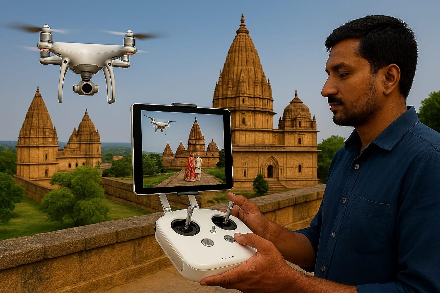
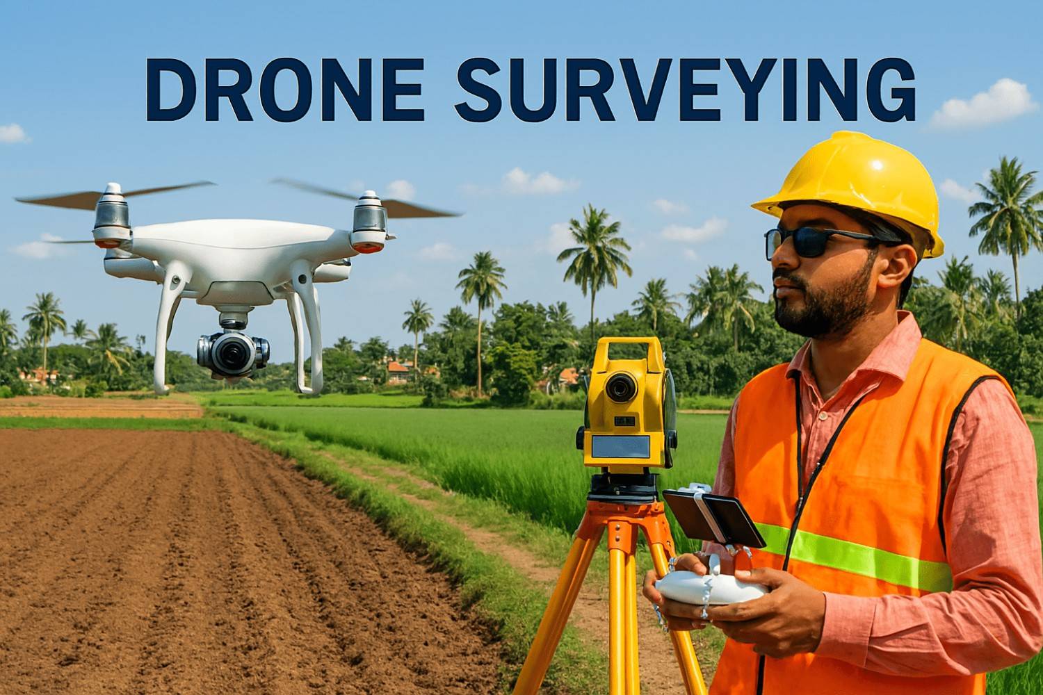
We at Flapone Aviation provide affordable and comprehensive mapping and surveying services via drones. Our drones are up-to-date with cameras, sensors, and GPS systems, allowing them to capture aerial data without fuss. Speed and precision in delivering the results is what makes us stand apart from the rest.
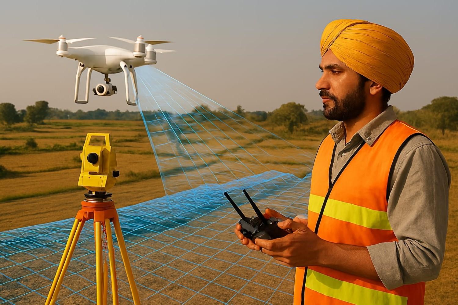
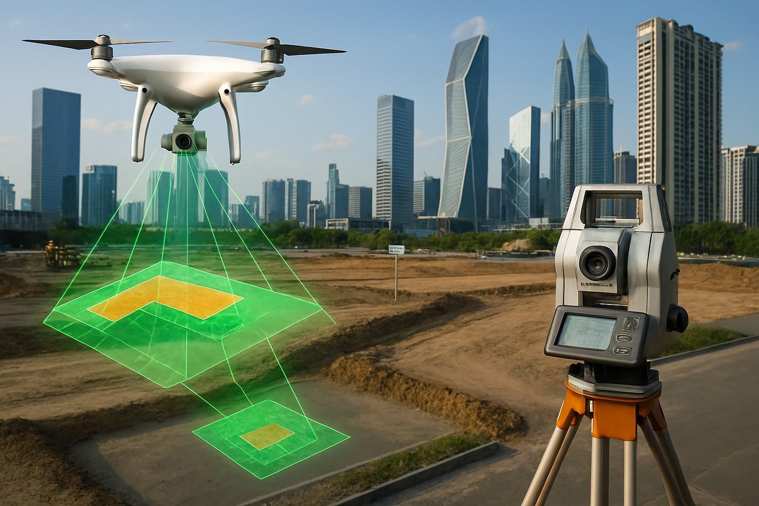
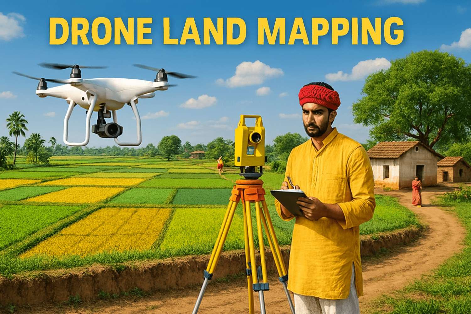
Topographic Mapping: Drones can capture images and collect all the necessary data, allowing the creation of detailed 3D models, which are very important for construction, urban planning, and land development.
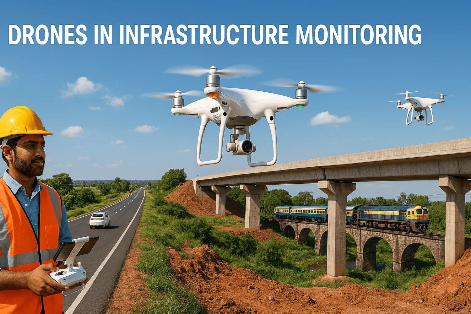
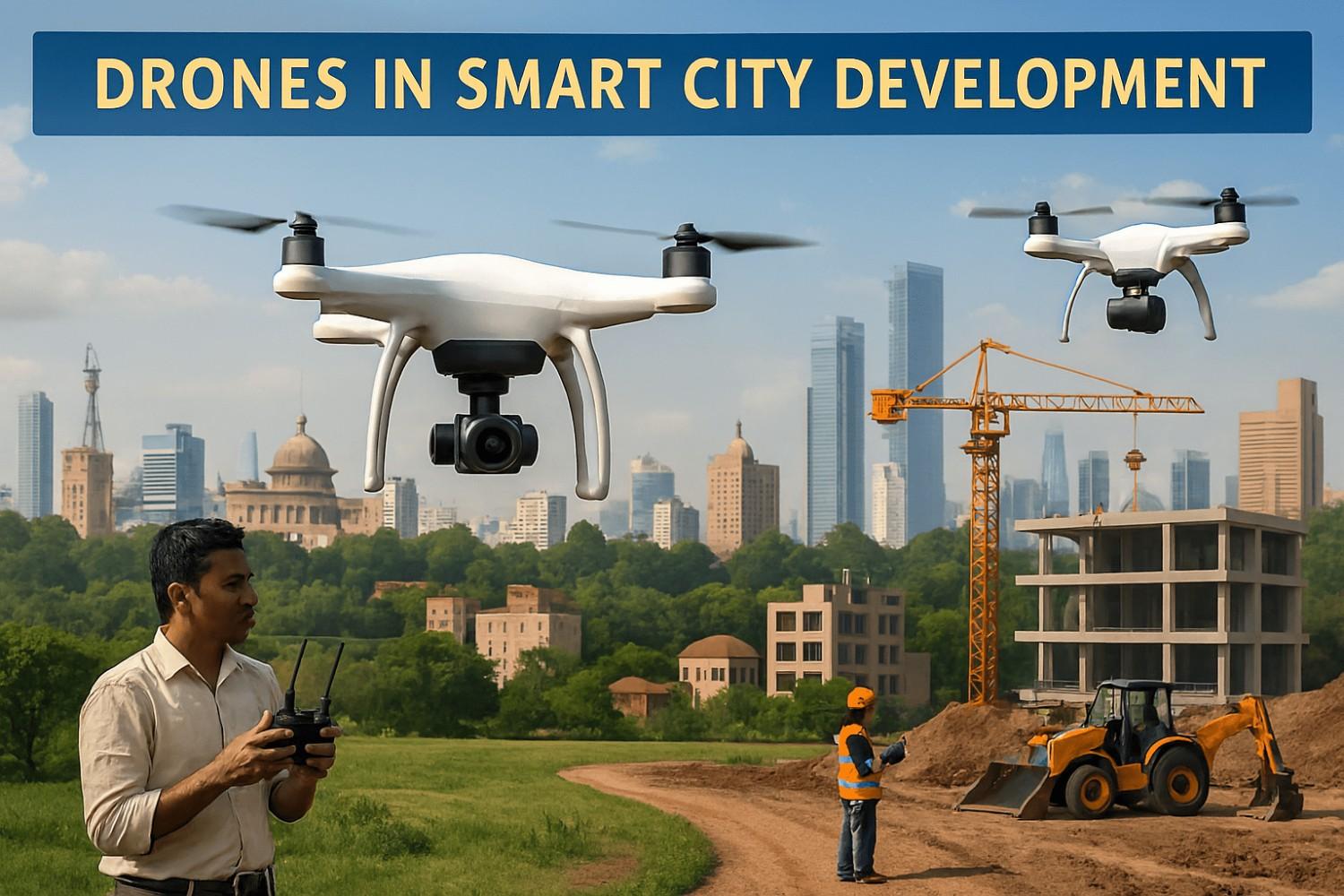
Construction and Infra Monitoring: Drones can be useful for constantly monitoring construction sites, providing progress reports that give an idea of what is being done and what needs to be done to attain better results.
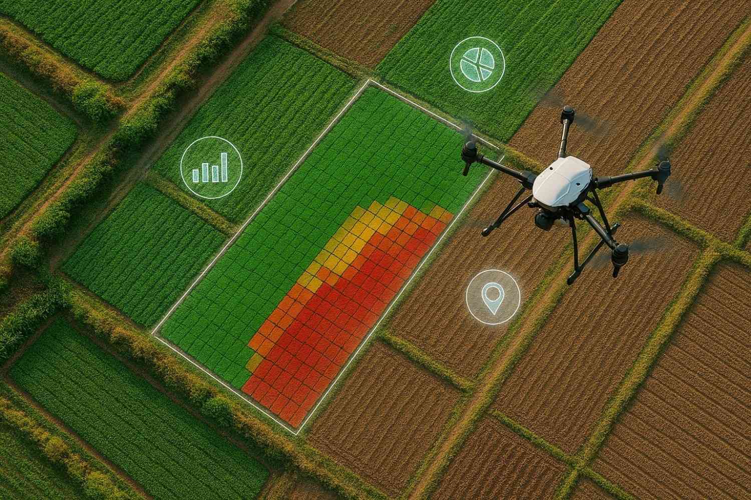
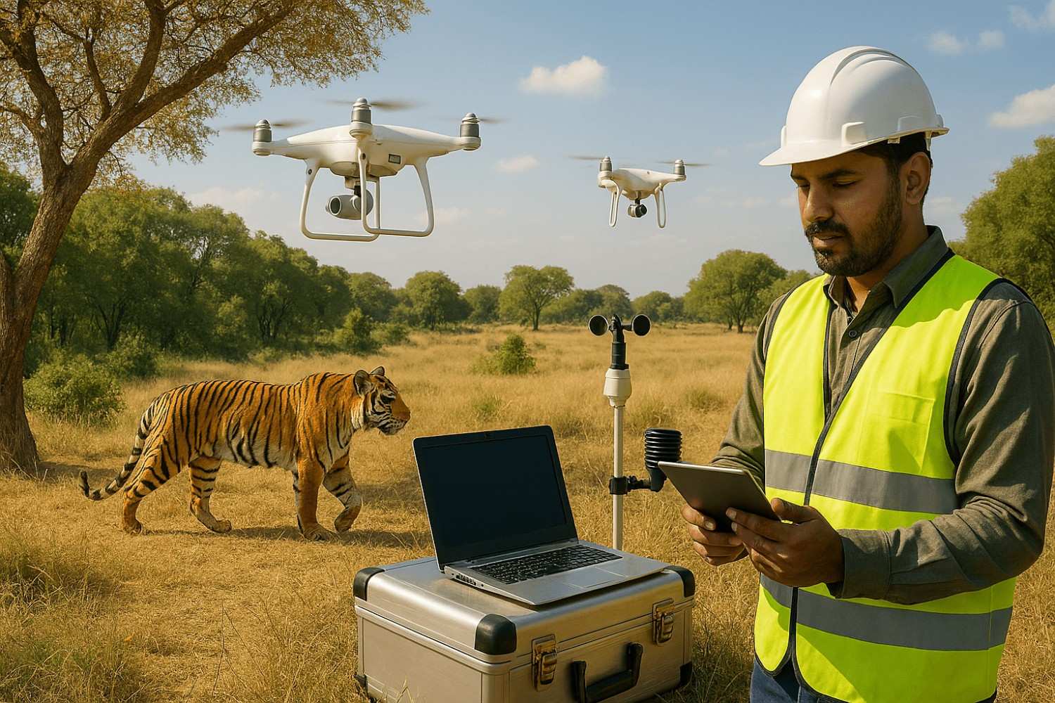
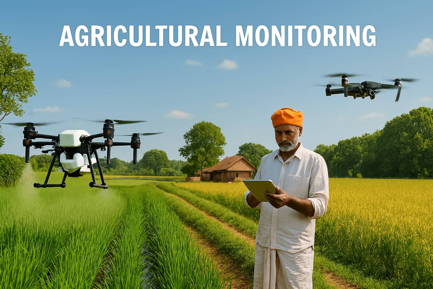
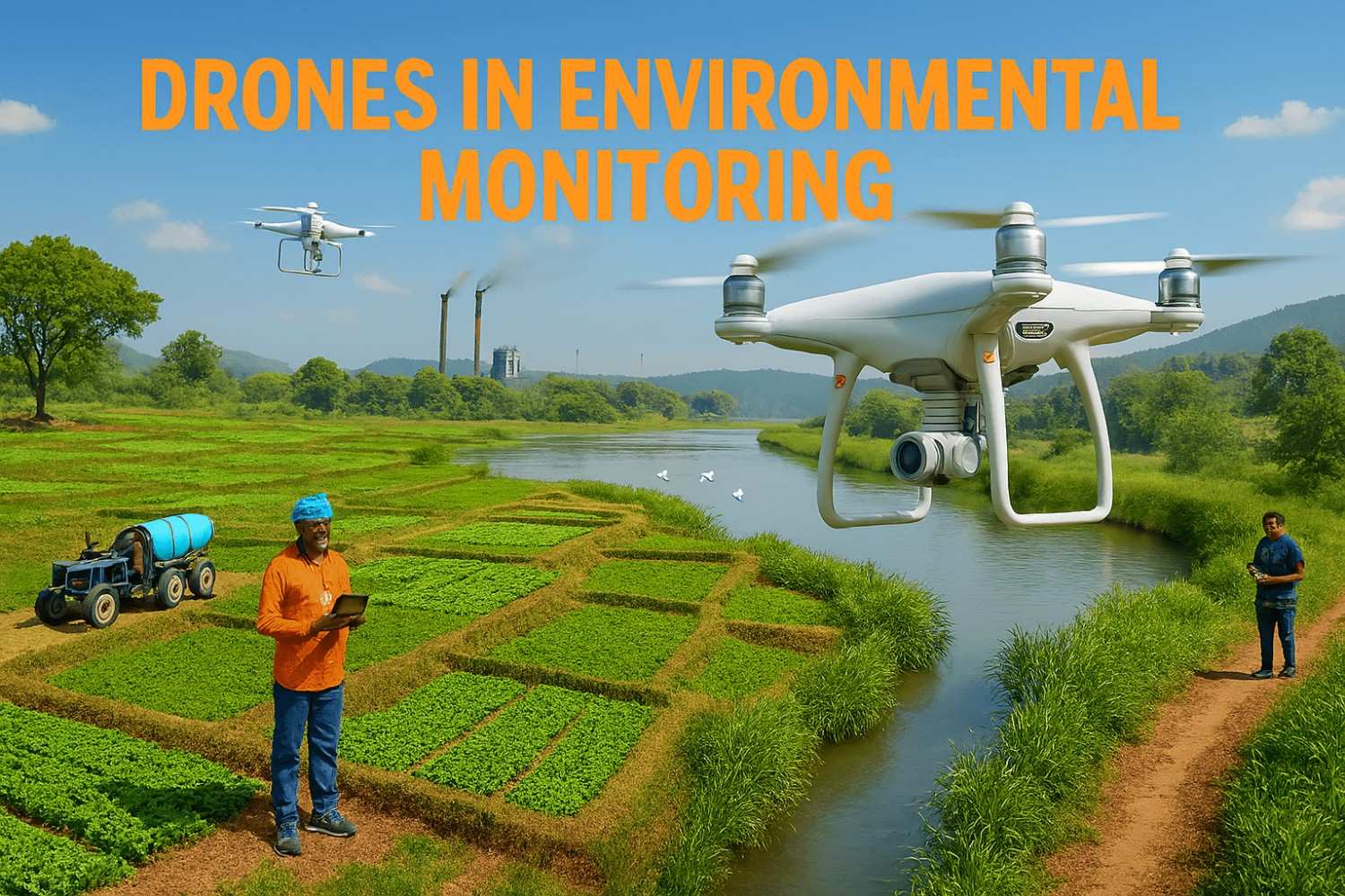
Agriculture and Environmental Monitoring: Drones can also help monitor crop health, the extent of deforestation, and ecological changes, assisting farmers and environmentalists in better decision-making.
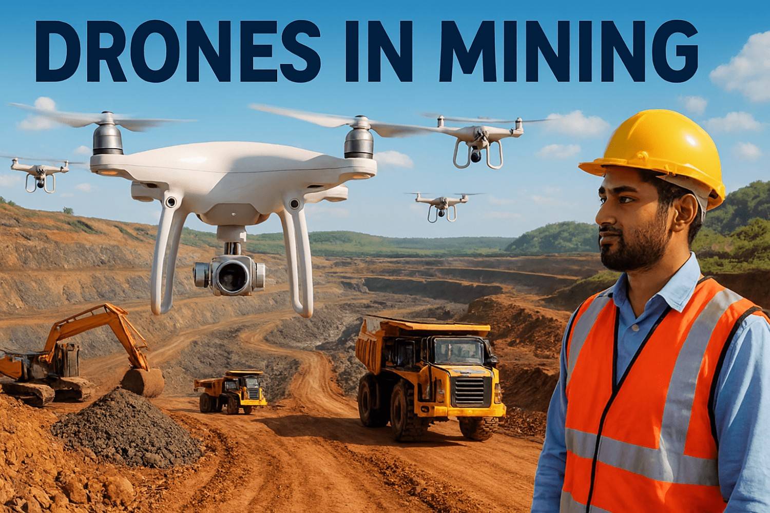
Mining and Quarrying: Drones can be of great help for measuring volume, planning mines, managing stockpiles, streamlining operations, and improving safety.
Cutting-Edge Technology: All the modern drone equipment is used, which ensures greater data precision, handling, and efficiency.
Experienced Team: We have a team of trained drone pilots who bring a wealth of experience and industry expertise to every project.
Lucrative Solutions: Drones eliminate the need for expensive aircraft or ground surveys, which is why we offer significant savings to our clients. Quick Turnaround Time: We deliver first-class results faster, assisting you to meet project deadlines without compromising accuracy.
Our experts can help assess your needs and suggest the right drone services for your industry.
Find additional aerial services tailored for industries, mapping, and business needs.