What a Day in the Life of a Professional Drone Pilot Looks Like?
Drones have become a technology worth noting in recent times, and there has been significant government backing as well to make them the new normal. A


There has been a rapid growth in the construction industry, not just in India but all over the world. This growth is largely due to the technological advancements happening around us. Talking of the most notable technology, it has to be drone surveying. This is not just faster than its traditional counterparts but also more accurate and cost-effective. In the contemporary scenario, engineers and architects must be familiar with drone surveying.
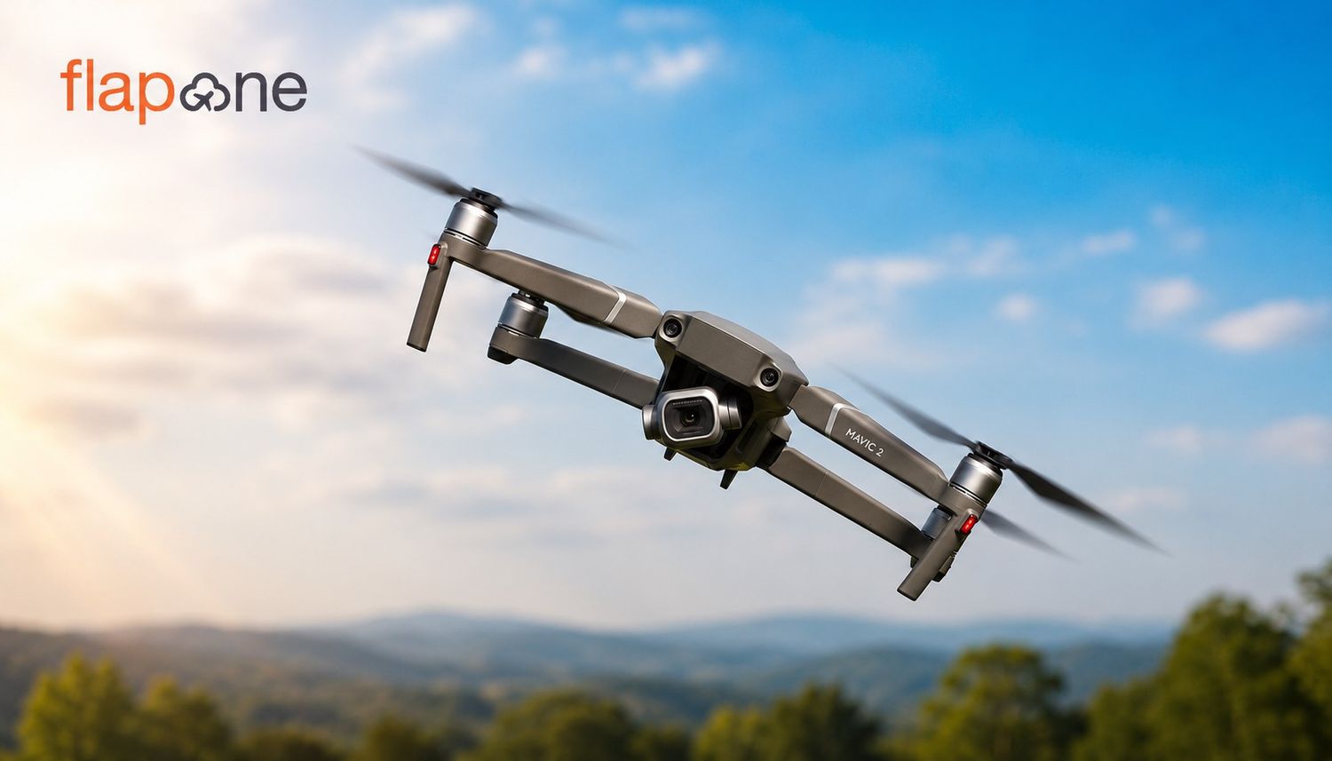
This is a contemporary technology in which mapping, photography and data collection of land are done with the help of drones. These drones have sensors, cameras and GPS technology, providing high-quality data.
In India, where geographical diversity is high and many areas are inaccessible, drone surveying is proving particularly worthwhile. This makes surveying in hilly areas, forests, flood-prone areas and urban areas possible.
There are several reasons why drone surveying has made a mark and continues to grow from strength to strength. Let us take a look at some of them.
Drone surveying provides a much better resolution than traditional methods, which allows engineers and architects to complete the work in a lot less time. The Indian construction industry is readily using drones and the use of drones in this sector is only going to increase. For instance, drone surveying has helped to save a lot of time in the mega project of the Delhi-Mumbai Industrial Corridor.
If the average cost of drone surveying in India is considered, it is approximately ₹1,500 per acre, which is a lot lower than traditional surveying methods. Following the initial investment, the cost of operations is around 60-70% lower than that of traditional methods. By decreasing the worker count and reducing the need for equipment, drone surveying is a perfect option for budget-conscious projects. The Indian commercial drone market will reach USD 1,237.8 million by 2033.
Many construction sites in India are both inaccessible and dangerous, particularly in hilly areas and those polluted by industry. Drone surveying allows data collection in all such areas without posing any risk to humans.
Drone surveying is no less than a revolution for civil engineers. With the use of drones in the construction of roads, bridges, buildings and dams:
Infrastructure Inspection
When it comes to inspections, drones are extremely useful for inspecting mega infrastructure such as old bridges, dams and buildings in India. Recently, drones were used in safety inspections of several flyovers in Mumbai.
Data Analytics and Modelling
Decision-making, which is driven by data, is vital in modern engineering. Data obtained from drones can be integrated with BIM (Building Information Modelling) software to improve the design and planning of a structure.
Let us look at some of the benefits of surveying with the help of drones for architects in India.
The commencement of architectural design is with a profound understanding of the site. With the help of a drone survey, architects get:
There has been a lot of talk about heritage conservation in India and a lot of heed has also been given to the same. Drone technology can also play its part in the same way by:
Better results are attained with the help of drone surveying in the conservation work at Ajanta-Ellora caves.
Drone surveying is playing its part in India's Smart City Mission. There are several aspects for which architects can use it:
The government of India has endorsed the drone industry with the help of the Drone Policy 2.0. Drone operations are made legal and streamlined by the Ministry of Civil Aviation and the Digital Sky platform. This has offered a clear path for commercial drone surveys.
Now, let us look at the practical steps to learn the skill of drone surveying.
Theoretical knowledge is just the initial step of understanding how devices work. Still, the real magic happens when one has the practical experience of flying them and that too for a commercial purpose. Many institutions in India offer drone pilot licenses after the completion of a training course. It is vital for commercial drone operations.
If one is learning drone operations specifically for drone surveying, then it is mandatory to be informed and have experience with some specific types of software.
The Chandigarh Airport expansion project achieved a 60% time savings and a 95% improvement in survey accuracy, mainly with the use of drone surveys.
Drone mapping avoided land acquisition delays and helped create precise land records in the Cochin Metro project in Kerala.
Drone surveys helped assess land suitability and precisely install solar panels in large solar park projects in Gujarat.
Drone surveying is not only an option but an inevitability of the future. For engineers and architects, this not only improves the speed and quality of work but also offers new career prospects. With drones, people will not just improve their efficiency but also become future industry leaders. Learning drone surveying today can lead to significant profits tomorrow.
Hence, if you are an engineer or architect, you must understand, learn and incorporate drones in your professional journey. For this, you can always come to Flapone Aviation, which is one of the finest drone training and aviation institutes in the country.
Whether you're a beginner or looking to upskill, our training advisors can help you choose the right course.