How to Handle Legal Issues & Complaints as a Drone Pilot?
Drones are popular all over the globe because of the fact that they can work remotely. In India, drones are used in inspection, survei


At present, rapid changes taking place in civil engineering and urban planning are commendable. This journey from traditional methods to pioneering technologies is both interesting and challenging. Two technologies have brought about a revolution: drones and Geographic Information Systems (GIS). The combination of these two is a boon for civil engineers and planners.
This blog provides details about these two technologies, their working mechanisms, and how they are collectively driving a new direction in construction work and urban development in India.
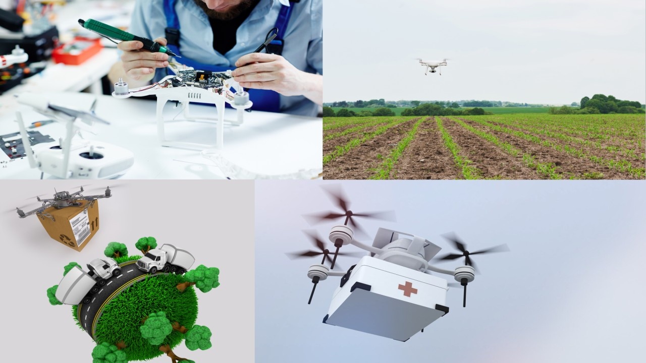
Earlier, the use of drones was limited to military activities only; however, their use has expanded to various fields, including filmmaking, agriculture, disaster management, and civil engineering.
It is now easy to create photographs, videos and 3D models of the land from a height through drones.
GIS, i.e., Geographic Information System, is a software system that enables the storage, analysis and visualization of spatial information. It is a digital map that not only shows the location but also offers information in multiple layers related to that location, such as population density, drainage, land use and road network, among others.
When high-resolution data obtained from drones is integrated into GIS, a new dimension opens up, accurate planning, fast decision-making and safe construction.
Now imagine what happens when the power of drones and GIS come together? What is possible with this combination was previously only imagined. Let's understand its major benefits:
In a diverse country like India, land survey is a challenging task. It is time-consuming with traditional methods. But with the help of drones, this work can be done in hours. Drone images and 3D models are taken and put into the GIS system, where they are analyzed and precise maps are created. This not only saves time but also increases accuracy manifold.
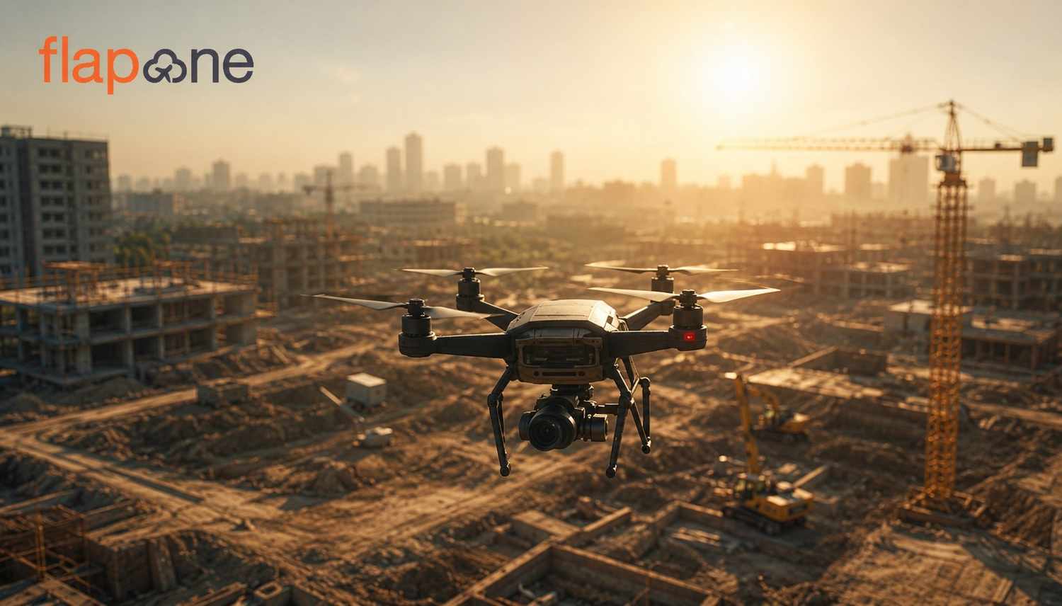
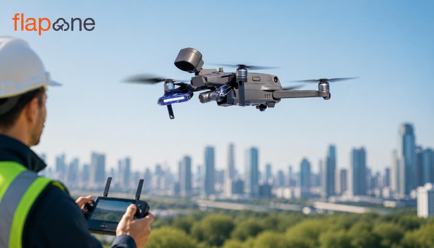
It is essential to monitor the progress of road construction,bridges, buildings, railway tracks or metros. Through drones, images can be captured on a weekly or monthly basis and plotted according to the timeline on a GIS platform. This allows planners to determine whether the project is running on time, identify areas where it is experiencing delays and pinpoint areas that need improvement.
Floods, earthquakes and landslides are common in India. The use of drones and GIS is extremely useful both before and after the disaster. By taking pictures of the affected areas from the drone and plotting them in GIS, rescue and relief operations can be given better direction.
Urbanization is happening rapidly in India, but planning is often left behind. Using drones and GIS, municipal bodies or gram panchayats can plan for drainage, traffic management, garbage disposal and green zone planning.
When drones and GIS are combined, they not only aid in planning new routes but also facilitate the repair and rebuilding of old roads. In areas with complex topography, this technology is a game-changer.
The central and state governments have now become serious about adopting these technologies. Digital records of rural properties are being created using drones as part of the "Swamitva Yojana". Likewise, the usage of drones and GIS is being prioritized in smart city projects.
Cities like Delhi, Hyderabad, Pune and Bhubaneswar have leveraged these technologies to make their development work more transparent and efficient. Organizations such as the railways, NHAI, and the Ministry of Housing and Urban Affairs are now incorporating these technologies into their standard practices.
The growing use of drones and GIS is also increasing the demand for technical skills. Engineering colleges and technical institutes are now starting courses on these subjects. With this, new employment opportunities are emerging for young people, including drone operators, GIS analysts, data visualizers and mapping experts.
Particularly by training rural youth, they can be employed in survey and construction work at the local level, which will not only offer employment but will also accelerate the development of villages.
Every technology comes with some challenges and this is also no exception:
Privacy and Security: Images taken from drones can be misused. So, data protection and ethical guidelines are necessary.
Rules and Regulations: The drone industry has mandatory rules that must be followed. Formalities, for example, registering drone pilots and obtaining flight permission, take time.
Lack of Technical Training: Even now, engineers in many places lack the necessary information about these technologies, which prevents them from fully realizing their benefits.
Internet and Connectivity: Good internet connectivity is essential for utilizing GIS-based data, which is not always available in every area.
India has numerous ambitious schemes for infrastructure development, including Bharatmala, AMRUT Yojana, railway network expansion and green energy parks. The quality of planning and implementation in all these will improve only when modern technologies are used properly.
Drones and GIS are not only the harbingers of this change. Still, they can also play a major role in making India a digitally enabled and sustainable developing country of the 21st century.
Drone and GIS technologies not only provide a view from above but also offer an opportunity to delve deeper into the ground. When engineers adopt these technologies, not only does their work become faster and more accurate, but they can also contribute to society with greater responsibility and transparency.
In India, where the population is dense, resources are limited and development needs are immense, integrating drones and GIS can become a transformative solution. It is not only necessary today, but also for the future. If you want to become a drone pilot in India, then enrolling in a drone piloting school like Flapone Aviation is a good thing for you. So, come to us, and you'll have a bright future waiting for you.
Whether you're a beginner or looking to upskill, our training advisors can help you choose the right course.