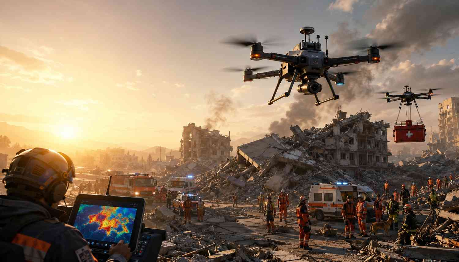
How Drones are Revolutionizing Search and Rescue Missions in Disaster Zones?
The role of drones in disaster management has become vital, as it is in various other industries worldwide. This technology has transformed how the te

Not just India, but the entire world has entered a new era in the tech industry today, where software development, data analytics, and hardware-based solutions are opening up new opportunities. In this regard, drone survey and mapping technology have gained significant importance. While drones were once considered only a tool for aerial photography or videography, they are now bringing revolutionary changes to agriculture, construction, smart cities, defence, the environment and infrastructure. That’s why today's tech professionals are pursuing drone survey and mapping certification to become proficient in this new technology.
This blog will help you delve into the world of drones and explore their applications in surveying and mapping. Not only this, but you will also find the answer to the question of why tech professionals are now more inclined towards drone mapping and surveying certification. Come, let us start.
The drone industry in India is experiencing significant growth. Following the government's liberalization of drone rules in 2021 and the introduction of the PLI (Production Linked Incentive) scheme in 2022, there is an increase in investment and employment prospects in this sector. India's drone market will go past INR 10,000 crore by 2025. This makes it clear that this sector has become a business necessity.
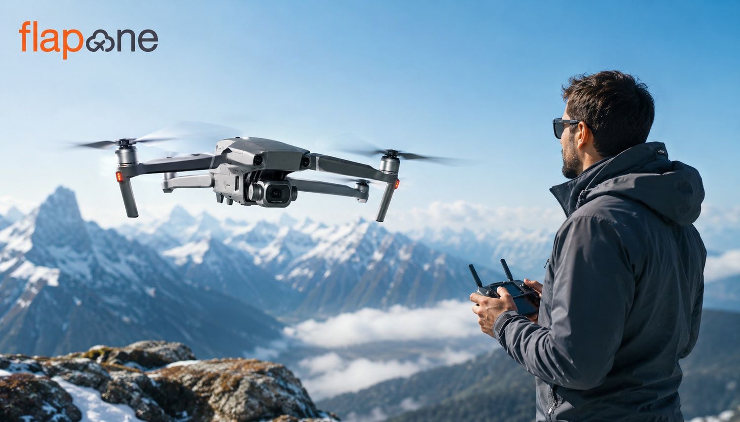
Drones can monitor agricultural fields, plan road construction, map water bodies, protect forests, and support disaster management. Skilled drone operators are in high demand in India and worldwide. Accurate surveys, real-time data and cost reduction are the main propellers of this trend. Consequently, companies are now adopting a more positive outlook toward professional drone pilots.
The pace of technological change is rapid. Professionals skilled in coding or data analysis will need to understand new technologies in the future. Drone survey and mapping require not only knowledge of drone operation but also an understanding of the data collected by it, analyzing it, and processing it in a GIS or CAD system.
For instance, a civil engineer using drone mapping for site planning can perform their work more efficiently and accurately. Similarly, a data analyst, knowing the use of drone data, can create more precise reports in agriculture or environmental analysis. This is why technical professionals are moving towards multidimensional skills.
Drone certification courses are not limited to just flying. These courses cover more than a few important topics, such as:
All these aspects help a professional attain a better understanding of drones, as well as the technology, software, and hardware used in different kinds of drones. Not all drones can be used for every purpose; different drones are made to perform specific tasks.
After obtaining these certifications, professionals not only learn to fly drones but also learn to use them strategically, for example, in land surveying, monitoring construction areas, or analyzing environmental data.
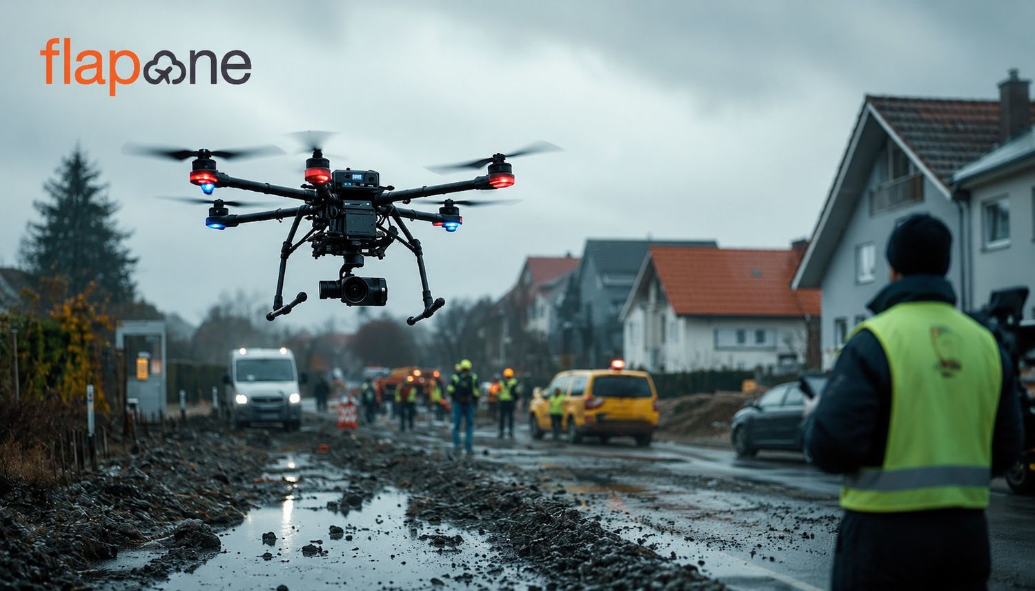
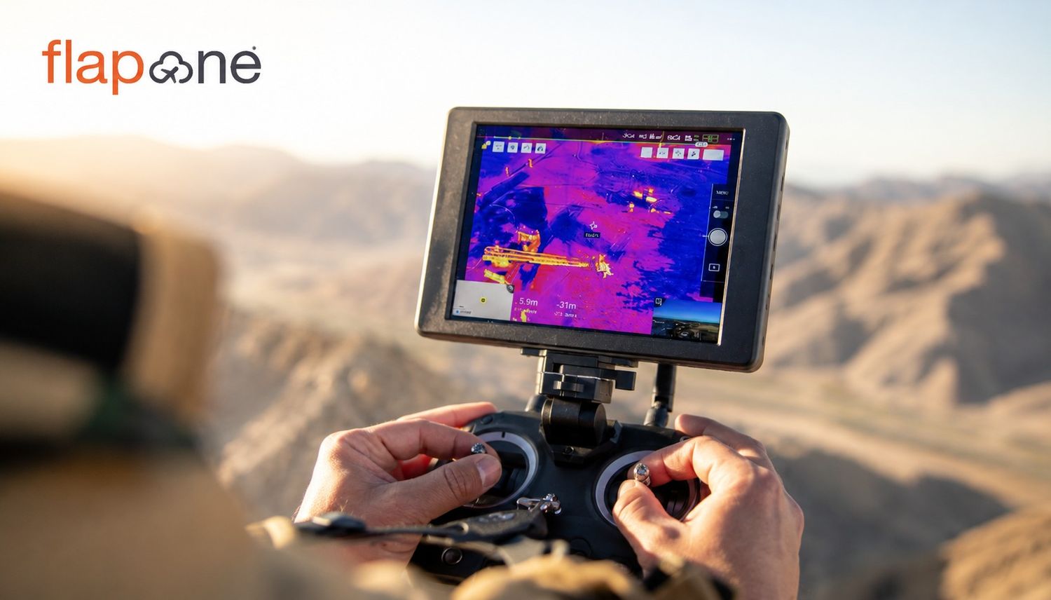
Drones are used in every major industry. In agriculture, they are used for crop monitoring, fertilizer spraying and climate analysis. In road construction, railway development, and building construction, drone surveys provide real-time information on site analysis and construction progress. While the energy sector is utilizing drones to monitor solar and wind plants, they are also being employed in environmental and disaster management for mapping flood zones, monitoring forest areas and planning relief operations.
Moreover, the telecom sector is utilizing drones for auditing mobile towers and mapping network coverage. There is a significant demand for trained technical professionals to process and analyze this data.
Many institutes in India are now offering specialized courses in drone surveying and mapping. Prominent among these are:
These courses not just teach drone flying but also focus on business aspects such as data processing, report generation and client presentations.
In the future, the expansion of drone technology will not be limited to flights. Its integration with AI and ML will make it smarter. With the introduction of 5G networks, the real-time data transmission capacity of drones is expected to increase significantly. It will be utilized more in areas, for example, traffic, pollution, water and energy management in smart city projects. In such situations, professionals with an understanding of drone survey and data processing will be able to play a leadership role in this change.
Drone survey and mapping technology is indeed a new chapter in India's technological landscape. It has become a long-term necessity. It is time for tech professionals to train themselves in this field, obtain certification, and be prepared for the technological world with new skills. This will not just strengthen their job security but also allow them to secure higher salaries and opportunities.
For engineers, data analysts, AI developers, or technical managers looking to elevate their careers, a drone survey and mapping certification could be a golden opportunity. Because of the rising demand for drones in India, government incentives and industry requirements are expected to continue driving growth in the future. Those who stay updated today will become the tech leaders of tomorrow.
If you also want to enter the world of drones, you can enroll in a drone pilot institute like Flapone Aviation. Here, you will not only learn about how to operate drones for different applications, but also gain knowledge about the different technological aspects of this technology. So, what are you waiting for? Join us now.
Our experts can help assess your needs and suggest the right drone services for your industry.