Highlights:
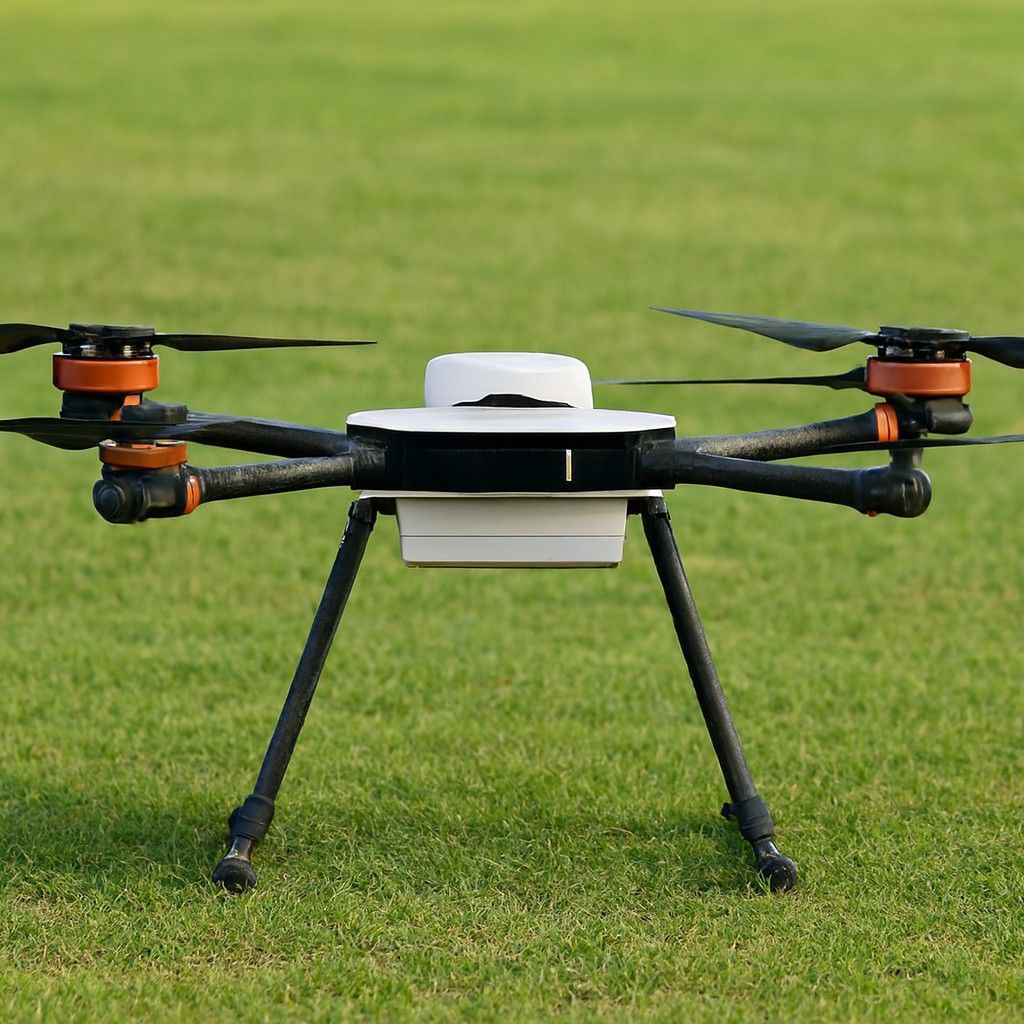
Cruising Speed:20 m/s
Drone Length:1180 mm
Working Temperature:-20°C to +60°C
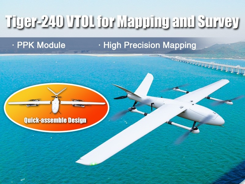
It is a high-performance drone equipped with a PPK module and a 30km long-range data link, enabling high-precision mapping and surveying. The aerodynamic design ensures low air resistance. The drone features a PPK module and a P9 900MHz 30km data link. The PPK module supports up to 25Hz RAW data recording. The positioning accuracy is less than 0.01m.
Not sure which drone fits your needs? Our experts can guide you to the perfect UAV for your mission.
Browse similar UAVs and add-ons trusted by students and professionals alike.