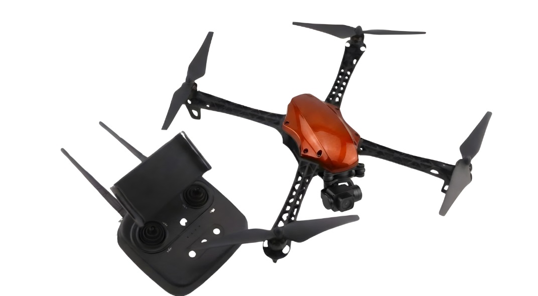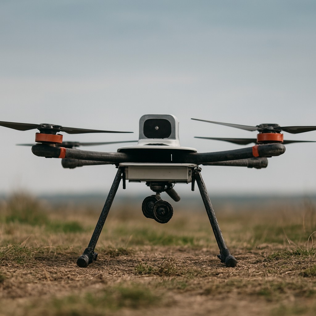
Highlights:
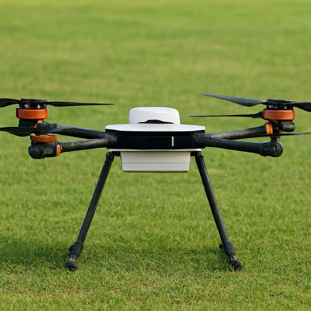
Weight:5 Kilograms
Flight Time:90 Minutes
Maximum Range:100 Kilometers
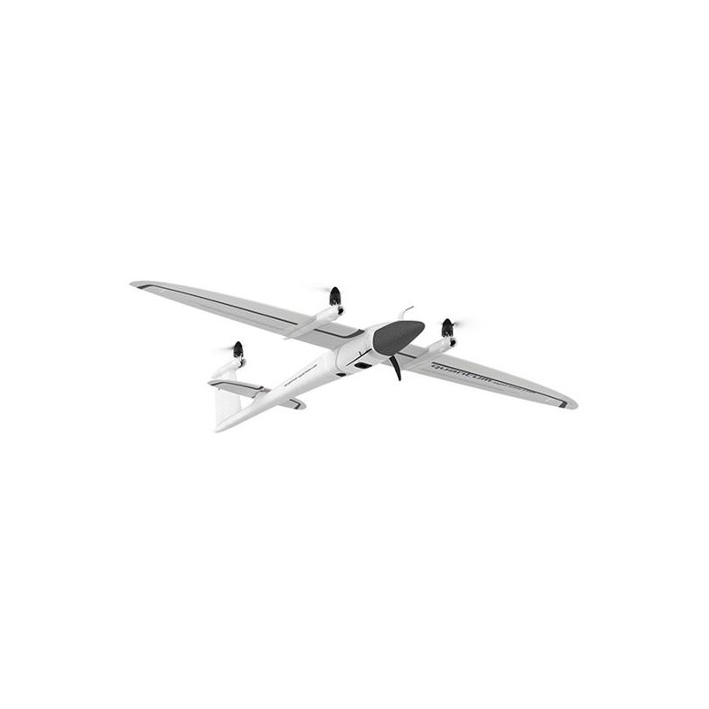
This drone is a cutting-edge fixed-wing drone developed by Quantum Systems. This drone boasts improved flight performance because of trailblazing technology, making it an essential tool for professionals. Whether you are involved in environmental monitoring, surveying, or infrastructure inspection, this offers extraordinary capabilities to enhance your aerial data collection and analysis. The price of this drone is about ₹2,424,000.
Surveying and Mapping: This drone can cover large areas efficiently. Surveyors use it to create topographic maps, assess land use and generate 3D models.
Agriculture: It provides farmers with tools to monitor crop health, assess soil conditions, and manage irrigation systems. With superior imaging and optional LiDAR, this enables more informed decision-making,
Environmental Monitoring: Environmental scientists use this drone to track deforestation and evaluate the impacts of natural disasters. It can cover vast areas and capture superior data makes it a crucial tool for ongoing environmental assessments.
Mining and Resource Management: It is used to conduct aerial surveys of mining sites, assess resource deposits, and monitor the progress of excavation. Its precise data collection capabilities support effective resource management, site planning and environmental compliance.
Emergency Response and Disaster Management: This drone provides rapid aerial surveys to evaluate damage, plan response strategies and support rescue operations.
Construction: The drone is also useful in the construction industry, providing comprehensive site surveys, progress tracking and project planning.
Not sure which drone fits your needs? Our experts can guide you to the perfect UAV for your mission.
Browse similar UAVs and add-ons trusted by students and professionals alike.