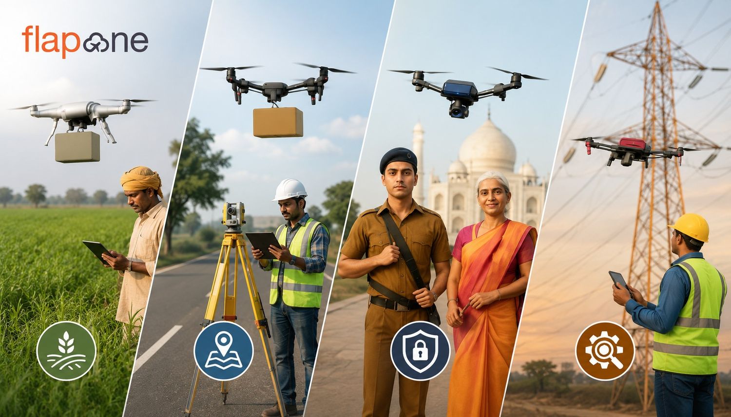
What are the Different Types of Drone Services in India?
Drones have evolved from being once a niche recreational device into an important operational tool across various sectors. There has been a rapi

Drone-based thermal imaging technology has revolutionized many industries. The combination of drones and thermal cameras makes human life, property and technological capabilities safer and more efficient compared to traditional methods. This blog will define thermal imaging, where it is used, and what pilots should keep in mind while operating drones. Let us explore the world of drone thermal imaging.
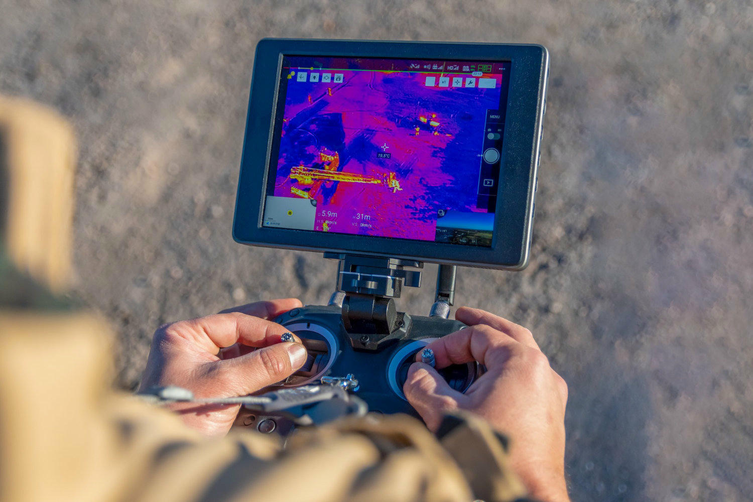
Thermal imaging means recording the heat emitted by environmental objects and surfaces by the camera and converting it into a visual format. Since the surface of every object emits infrared rays according to its temperature, the camera sensor records them. As a result, we get temperature patterns in visual form, such that hot areas appear red and cold areas appear blue.
There are many reasons why thermal imaging with drones can come in handy. Let us look at some of the primary reasons for the same.
Drones can capture thermal data while flying at an altitude of 50–500 meters in the air. This capability helps in effective monitoring and surveying of the areas and that too in double quick time as compared to manual inspection.
When thermal imaging is done with the help of drones, it significantly reduces the time taken to complete this entire process. The work of hours can be done in minutes and that too with pinpoint accuracy and precision.
Another good thing about working with drones is, it enhances human safety. When the work of imaging is to be done manually, it can pose significant amount of risk to humans when they have to enter dangerous or inaccessible areas. While, this is not the case when the same is done by drones. Now, people are not required to enter in dangerous or difficult areas.
One more important thing that works in favour of drones, when we talk about thermal imaging, is the fact that they are much more economical than helicopters or large piloted aircraft. So, one is able to save a lot of money in an imaging operation.
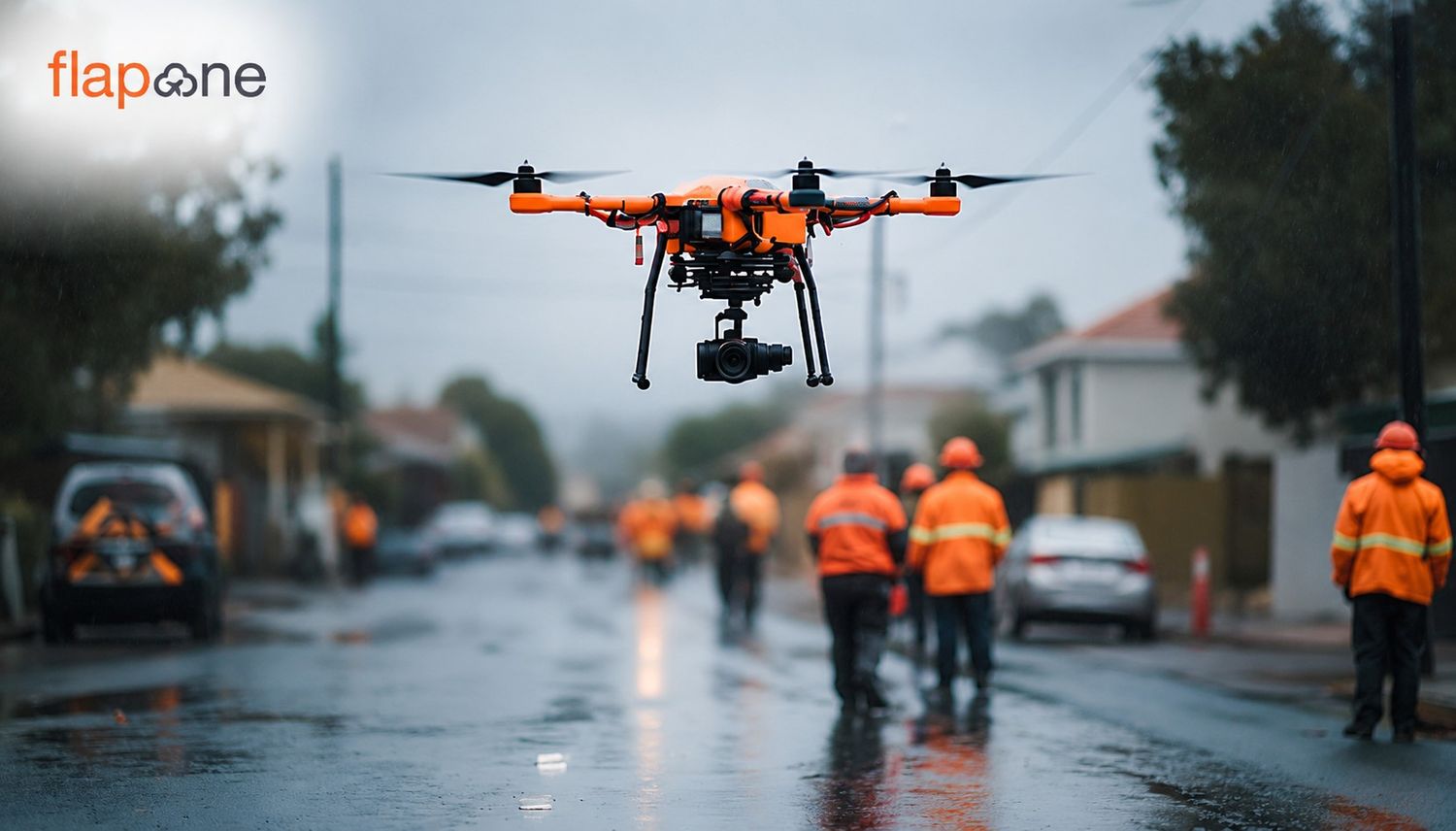
With drones reducing the risks posed to humans, they can work wonders when it comes to doing regular inspections of power lines, pipelines, forest areas or buildings can be done. Regular inspections will mean that there are fewer chances of failures and other catastrophic events.
Now, after getting to know why thermal imaging with drones can be useful, let us have a look at all of the areas where thermal imaging with drones can prove its worth in gold.
In case of a fire or fire, drones can identify hot spots with thermal cameras and guide fire fighters to perform the extinguishing operations more efficiently and thus reducing property damage and also the number of casualties.
Identifying hot spots in high-voltage lines is essential for safety. Drones can perform 360° temperature analysis. If the hot spots are identified within time, it greatly decreases the chances of a blast in the transformer due to voltage fluctuations.
Thermal imaging with the help of drones enables the detection of leakage in oil/gas pipelines. Drones with their superior imaging capabilities can identify even the smallest of leaks, which can be missed by humans. When a leakage is identified within time, it ensures that not much damage is done and all the infrastructure is kept intact.
Thermal imaging reveals energy-wasting parts of buildings like roofs, walls and windows, which helps in improving energy efficiency in corporate buildings and homes.
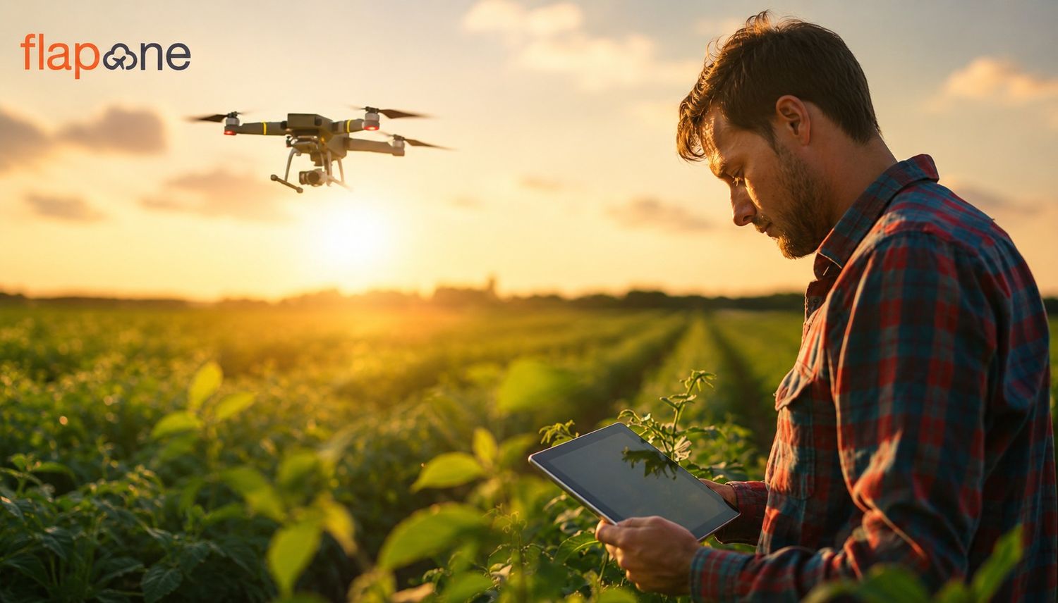
Thermal imaging can also come in handy in the realm of agriculture, especially in a country like India, which is still an agriculture-based economy. The ways in which thermal imaging with drones can add value to agriculture are improving the health of crops, monitor water levels and pest infestations. According to a study, thermal technology improved crop production by 15–20%.
This is another area where drone thermal imaging has a big role to play. By spotting nocturnal animals, drones provide conservationists with data and make predator control easier. In this way, the wildlife all over the world can be conserved and the extinction of species can certainly be delayed, if not entirely stopped.
Camera Specifications
The thermal imaging capabilities of the drone will greatly depend on the sensor type and resolution. The better and advanced the sensor, the better a drone will perform as far as imaging is concerned
Flight Parameters
Drone pilots should always be conscious of the various flight parameters of the drones that they operate. These parameters include flight duration, altitude, speed and battery. An imaging operation must be planned, keeping in mind all these drone parameters.
Data Analysis
Capturing the data with drones is one thing, but the real magic ha[happens when the collected data is analyzed correctly. A drone pilot should also have adequate knowledge about how the analysis of the data is to be done. This can be done with the help of software like FLIR Tools, ThermoViewer. Apart from this, one should be well-versed in thermal conversion and quantitative measurement
Legal and Safety Aspects
Drone pilots should also know all about the legal implications and safety aspects of drones
DGCA Certification
First and foremost, all the drones in India used for commercial purposes and especially the ones equipped with thermal imaging cameras, need to be registered with the DGCA and have a UIN (Unique Identification Number).
NO Permission No Takeoff (NPNT)
There are some areas and zones where drone operators need to obtain official permission before flying. Failing to do this, one can land in legal troubles and could also face monetary penalizations
Privacy-Related Laws
Privacy-related laws should also be given importance by the drone pilots as thermal imaging with drones, in some cases, can be considered an intrusion into the private life of any individual.
Flight Range and NO-FLY zones
It is perhaps the most important thing that all the drone pilots should know. Airspace is divided into three zones, Red, Yellow and Green. Of which red are complete no fly zones, yellow are conditional flight zones and green zones are free-flight zones. Talking of red and yellow zones, often there are restrictions on drone flying near airports, military areas and private areas.
AI and Machine Learning
Integration of smart technologies such as Artificial Intelligence and Machine Learning has started in drones and this will grow from strength to strength with the passage of time. In the future, what we can expect from drones with regards of imaging is, automatic event detection from thermal data, like fire, leak or human activity.
Automated Thermal Drone Networks
With the technological advancement going on in the field of drone technology, in the near future, we can expect to see scripted drone-traps that automatically monitor. The areas with consummate ease and precision
With time, there has been a significant transformation in network speeds. With the arrival of 5G speeds, now drones can make use of faster networks for real-time communication. This will not stop at 5G, but there will be even faster network speeds going forward, so this will bring about glitch-free communication and data transmission from drones
Multi-Sensor Phison system
With tech advancements happening every other day in the world of drones, there is a combined use of thermal + RGB + LiDAR that optimizes data quality. This will only improve with time.
Thermal imaging drone technology today is not only transforming science and information into data, but also taking our quality of life, safety and technological capabilities to new heights. From agriculture to energy, building audits to firefighting, and industrial applications to wildlife conservation, its application areas are constantly growing.
However, pilots must comply with legal, ethical, and safety standards along with technical proficiency. As costs come down and AI-based automated analysis advances, its reach will expand to small businesses and government spaces as well. If you want to learn drone piloting and become a certified drone pilot, you can enroll with us at Flapone Aviation. Here, you will learn about the theoretical as well as practical aspects of drone piloting and that too without spending much out of your pocket.
Our experts can help assess your needs and suggest the right drone services for your industry.